Iborfia
| Iborfia | |
|---|---|
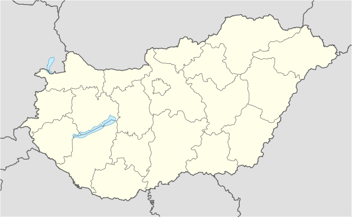 Iborfia Location of Iborfia | |
| Coordinates: 46°44′21″N 16°44′55″E / 46.7393°N 16.74856°ECoordinates: 46°44′21″N 16°44′55″E / 46.7393°N 16.74856°E | |
| Country |
|
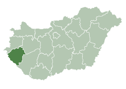
| County | Zala |
| Area | |
| • Total | 2.59 km2 (1.00 sq mi) |
| Population (2009) | |
| • Total | 11 |
| • Density | 7.33/km2 (19.0/sq mi) |
| Time zone | CET (UTC+1) |
| • Summer (DST) | CEST (UTC+2) |
| Postal code | 8984 |
| Area code(s) | 92 |
Iborfia is a village in Zala County, Hungary.
Gallery
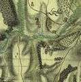 The map of Iborfia from the First Military Mapping Survey of Austria Empire.
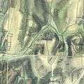 The map of Iborfia from the Second Military Mapping Survey of Austria Empire.
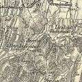 The map of Iborfia from the 3rd Military Mapping Survey of Austria-Hungary.
External links
- Street map (Hungarian)
This article is issued from Wikipedia - version of the 2/11/2016. The text is available under the Creative Commons Attribution/Share Alike but additional terms may apply for the media files.