Innsbrook, Virginia
| Innsbrook, Virginia | |
|---|---|
| Census-designated place | |
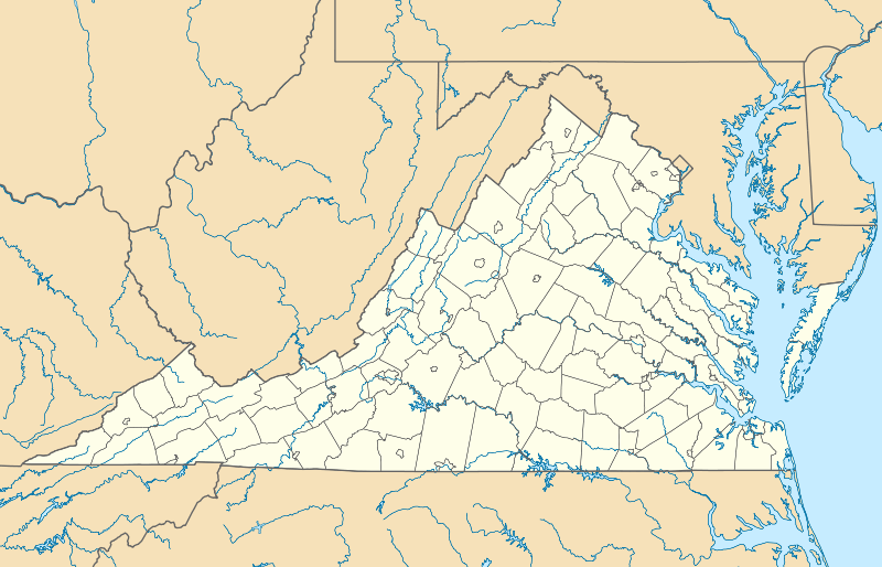 Innsbrook, Virginia Location within the Commonwealth of Virginia | |
| Coordinates: 37°38′51″N 77°35′11″W / 37.64750°N 77.58639°WCoordinates: 37°38′51″N 77°35′11″W / 37.64750°N 77.58639°W | |
| Country |
|
| State |
|
| County |
|
| Area | |
| • Total | 4.4 sq mi (11.5 km2) |
| • Land | 4.4 sq mi (11.3 km2) |
| • Water | 0.08 sq mi (0.2 km2) |
| Population (2012) | |
| • Total | 7,753 |
| • Density | 1,700/sq mi (670/km2) |
| Time zone | Eastern (EST) (UTC-5) |
| • Summer (DST) | EDT (UTC-4) |
| ZIP codes | 23060 |
| FIPS code | 51-39920 |
| GNIS feature ID | 2612516 |
Innsbrook is a census-designated place in Henrico County, Virginia, United States. The population as of the 2010 Census was 7,753.[1]
References
- ↑ Virginia Trend Report 2: State and Complete Places (Sub-state 2010 Census Data). Missouri Census Data Center. Accessed 2011-06-08.
Municipalities and communities of Henrico County, Virginia, United States | ||
|---|---|---|
| CDPs |  | |
| Unincorporated communities | ||
This article is issued from Wikipedia - version of the 9/4/2016. The text is available under the Creative Commons Attribution/Share Alike but additional terms may apply for the media files.