Irupi
| Irupi | |
|---|---|
| Municipality | |
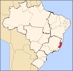
 Irupi Location in Brazil | |
| Coordinates: 20°20′42″S 41°38′27″W / 20.34500°S 41.64083°WCoordinates: 20°20′42″S 41°38′27″W / 20.34500°S 41.64083°W | |
| Country |
|
| Region | Southeast Region |
| State | Espírito Santo |
| Area | |
| • Total | 185 km2 (71 sq mi) |
| Population (2015) | |
| • Total | 13,096 |
| • Density | 71/km2 (180/sq mi) |
| Time zone | BRT/BRST (UTC-3/-2) |
Irupi is a municipality located in the Brazilian state of Espírito Santo. Its population was 13,096 (2015) and its area is 185 km².[1]
References
Capital: Vitória | ||||||||||||||||
| Mesoregion Central |
|  | ||||||||||||||
| Mesoregion Litoral Norte |
| |||||||||||||||
| Mesoregion Noroeste |
| |||||||||||||||
| Mesoregion Sul |
| |||||||||||||||
This article is issued from Wikipedia - version of the 6/15/2016. The text is available under the Creative Commons Attribution/Share Alike but additional terms may apply for the media files.