Marataízes
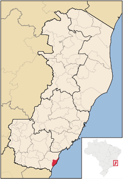
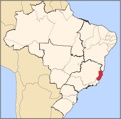
Marataízes is the a municipality located by the Atlantic Ocean in southern Espírito Santo, Brazil. It has a population of 34,140 and holds as such the highest density in the state. Marataízes is a tourist city.
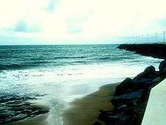
The municipality contains the 42.20 hectares (104.3 acres) Falésias de Marataízes Natural Monument, created in 2008 to protect the cliffs to the south of the town.[1]
Gallery
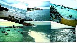
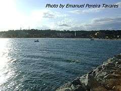
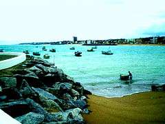
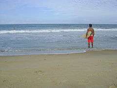
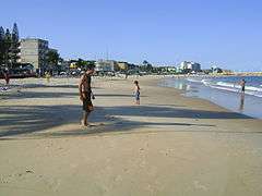
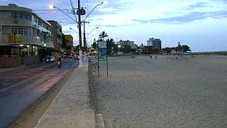
A beach in Marataizes Fishing boats Surfer in a local beach Main beach Ending day after rain |
References
|
|---|
|
|
|
| Mesoregion Central | Afonso Cláudio | |
|---|
| Guarapari | |
|---|
| Santa Teresa | |
|---|
| Vitória | |
|---|
| |
|---|
|
| Mesoregion Litoral Norte | Linhares | |
|---|
| Montanha | |
|---|
| São Mateus | |
|---|
|
|---|
|
| Mesoregion Noroeste | Barra de São Francisco | |
|---|
| Colatina | |
|---|
| Nova Venécia | |
|---|
|
|---|
|
| Mesoregion Sul | Alegre | |
|---|
| Cachoeiro de Itapemirim | |
|---|
| Itapemirim | |
|---|
|
|---|