Jacobson, Minnesota
| Jacobson, Minnesota | |
|---|---|
| Unincorporated community | |
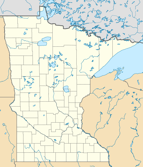 Jacobson, Minnesota Location of the community of Jacobson | |
| Coordinates: 47°00′03″N 93°16′03″W / 47.00083°N 93.26750°WCoordinates: 47°00′03″N 93°16′03″W / 47.00083°N 93.26750°W | |
| Country | United States |
| State | Minnesota |
| County | Aitkin County |
| Township | Ball Bluff Township |
| Elevation | 1,253 ft (382 m) |
| ZIP code | 55752 |
| Area code(s) | 218 |
| GNIS feature ID | 0645574 |
Jacobson is an unincorporated community in Ball Bluff Township, Aitkin County, Minnesota, United States.
Formerly a logging town known as "Mississippi Landing," it is named after Paul Jacobson, who served as the first postmaster.[1]
Minnesota State Highways 65 and 200 are two of the main routes in the community.
Community
Jacobson currently consists of a gas station, called Mississippi Landing, a campground right off of the banks of the mighty river, some three churches of different religious denominations, and a bar called The Forestry Station. A local park can also be found, including a baseball diamond and a playground for the little ones.
References
- ↑ Upham, Warren (2001). Minnesota Place Names: A Geographical Encyclopedia. Minnesota Historical Society Press. p. 16.
Municipalities and communities of Aitkin County, Minnesota, United States | ||
|---|---|---|
| Cities | 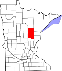 | |
| Townships |
| |
| Unorganized territories | ||
| Unincorporated communities | ||
| Indian reservations | ||
| Footnotes | ‡This populated place also has portions in an adjacent county or counties | |
This article is issued from Wikipedia - version of the 10/30/2016. The text is available under the Creative Commons Attribution/Share Alike but additional terms may apply for the media files.