Kępa Wysocka
| Kępa Wysocka | |
|---|---|
| Part of the village | |
 Kępa Wysocka | |
| Coordinates: 51°54′39″N 21°14′49″E / 51.91083°N 21.24694°E | |
| Country |
|
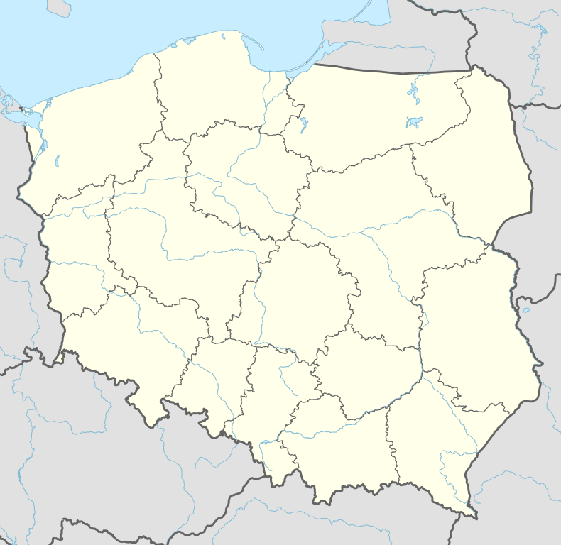
| Voivodeship | Masovian |
| County | Otwock |
| Gmina | Gmina Sobienie-Jeziory |
| Population | 50 |
Kępa Wysocka [ˈkɛmpa vɨˈsɔt͡ska] is a part of Wysoczyn village, Gmina Sobienie-Jeziory. The population is near 50. From 1975 to 1998 this place was in Siedlce Voivodeship. It lies approximately 6 kilometres (4 mi) south-west of Sobienie-Jeziory, 23 km (14 mi) south of Otwock, and 38 km (24 mi) south-east of Warsaw.
Coordinates: 51°54′38″N 21°14′49″E / 51.91056°N 21.24694°E
This article is issued from Wikipedia - version of the 8/22/2013. The text is available under the Creative Commons Attribution/Share Alike but additional terms may apply for the media files.