Kerang Airport
| Kerang Airport | |||||||||||||||
|---|---|---|---|---|---|---|---|---|---|---|---|---|---|---|---|
| IATA: KRA – ICAO: YKER | |||||||||||||||
| Summary | |||||||||||||||
| Airport type | Public | ||||||||||||||
| Operator | Gannawarra Shire Council | ||||||||||||||
| Location | Kerang, Victoria | ||||||||||||||
| Elevation AMSL | 254 ft / 77 m | ||||||||||||||
| Coordinates | 35°45′06″S 143°56′24″E / 35.75167°S 143.94000°ECoordinates: 35°45′06″S 143°56′24″E / 35.75167°S 143.94000°E | ||||||||||||||
| Map | |||||||||||||||
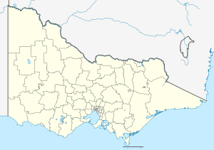 YKER Location in Victoria | |||||||||||||||
| Runways | |||||||||||||||
| |||||||||||||||
Kerang Airport (IATA: KRA, ICAO: YKER) is located 1.5 nautical miles (2.8 km; 1.7 mi) southeast[1] of Kerang, Victoria, Australia.
See also
References
- 1 2 YKER – Kerang (PDF). AIP En Route Supplement from Airservices Australia, effective 10 November 2016
This article is issued from Wikipedia - version of the 12/4/2016. The text is available under the Creative Commons Attribution/Share Alike but additional terms may apply for the media files.