Kernell, California
| Kernell | |
|---|---|
| Unincorporated community | |
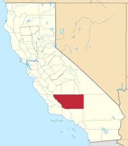
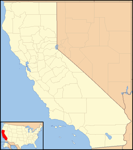 Kernell  Kernell Location in California | |
| Coordinates: 35°45′25″N 119°20′38″W / 35.75694°N 119.34389°WCoordinates: 35°45′25″N 119°20′38″W / 35.75694°N 119.34389°W | |
| Country | United States |
| State | California |
| County | Kern County |
| Elevation[1] | 259 ft (79 m) |
Kernell is an unincorporated community in Kern County, California.[1] It is located on the Atchison, Topeka and Santa Fe Railroad 5.5 miles (9 km) west of Delano,[2] at an elevation of 259 feet (79 m).[1]
References
This article is issued from Wikipedia - version of the 7/5/2016. The text is available under the Creative Commons Attribution/Share Alike but additional terms may apply for the media files.