Kim, Arizona
| Kim, Arizona | |
|---|---|
| Populated place | |
 Kim  Kim Location within the state of Arizona | |
| Coordinates: 32°44′05″N 113°42′09″W / 32.73472°N 113.70250°WCoordinates: 32°44′05″N 113°42′09″W / 32.73472°N 113.70250°W | |
| Country | United States |
| State | Arizona |
| County | Yuma |
| Elevation[1] | 400 ft (122 m) |
| Time zone | Mountain (MST) (UTC-7) |
| • Summer (DST) | MST (UTC-7) |
| Area code(s) | 928 |
| FIPS code | 04-37570 |
| GNIS feature ID | 25328 |
Kim is a populated place situated in Yuma County, Arizona, about 65 miles west of Yuma.[2][3] Named after the cook for the president of the Southern Pacific Railroad, it has an estimated elevation of 400 feet (120 m) above sea level.[1]
References
- 1 2 "Feature Detail Report for: Kim". Geographic Names Information System. United States Geological Survey.
- ↑ "Kim (in Yuma County, AZ) Populated Place Profile". AZ Hometown Locator. Retrieved November 27, 2016.
- ↑ Barnes, Will Croft (2016). Arizona Place Names. Tucson: University of Arizona Press. p. 233. ISBN 0816534950.
Municipalities and communities of Yuma County, Arizona, United States | ||
|---|---|---|
| Cities | 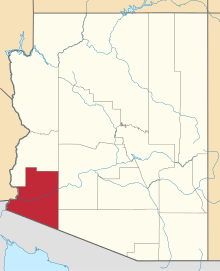 | |
| Town | ||
| CDPs |
| |
| Unincorporated communities | ||
| Indian reservations | ||
| Ghost towns | ||
| Footnotes | ‡This populated place also has portions in an adjacent county or counties | |
This article is issued from Wikipedia - version of the 12/3/2016. The text is available under the Creative Commons Attribution/Share Alike but additional terms may apply for the media files.