Kratzville, Indiana
| Kratzville | |
|---|---|
| Unincorporated community | |
 Kratzville  Kratzville | |
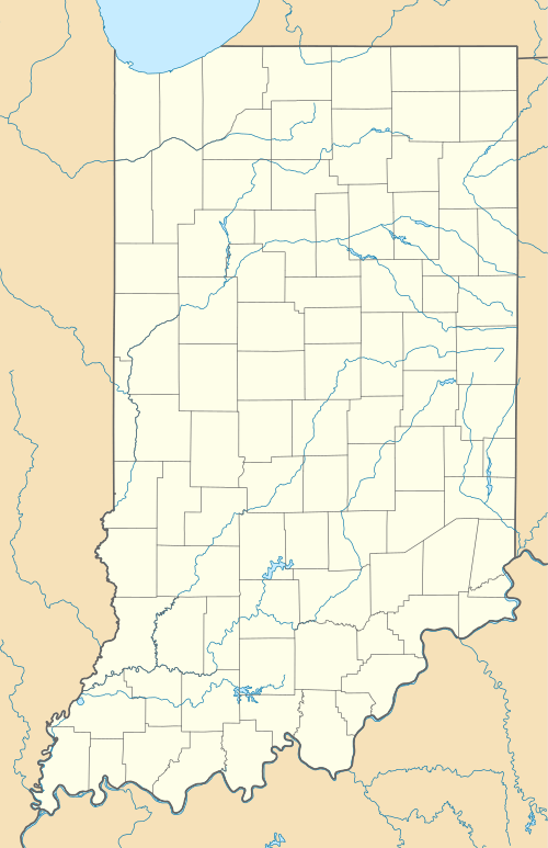
| Coordinates: 38°01′20″N 87°35′06″W / 38.02222°N 87.58500°WCoordinates: 38°01′20″N 87°35′06″W / 38.02222°N 87.58500°W | |
| Country | United States |
| State | Indiana |
| County | Vanderburgh |
| Township | Center |
| Elevation[1] | 433 ft (132 m) |
| Time zone | CST (UTC-6) |
| • Summer (DST) | CDT (UTC-5) |
| ZIP code | 47711 |
| Area code(s) | 812 |
| GNIS feature ID | 449051 |
Kratzville is an unincorporated community in Center Township, Vanderburgh County, in the U.S. state of Indiana.[2]
It is located within the city limits of Evansville.
Geography
Kratzville is located at 38°01′20″N 87°35′06″W / 38.02222°N 87.58500°W.
References
- ↑ "US Board on Geographic Names". United States Geological Survey. October 25, 2007. Retrieved 2016-07-20.
- ↑ "Kratzville, Indiana". Geographic Names Information System. United States Geological Survey. Retrieved 2016-07-20.
Municipalities and communities of Vanderburgh County, Indiana, United States | ||
|---|---|---|
| City | ||
| Town | ||
| Townships | ||
| CDPs | ||
| Unincorporated communities | ||
| Footnotes | ‡This populated place also has portions in an adjacent county or counties | |
This article is issued from Wikipedia - version of the 9/8/2016. The text is available under the Creative Commons Attribution/Share Alike but additional terms may apply for the media files.