La Esperanza Airport (Intibucá)
| La Esperanza Airport | |||||||||||
|---|---|---|---|---|---|---|---|---|---|---|---|
| IATA: LEZ – ICAO: MHLE | |||||||||||
| Summary | |||||||||||
| Airport type | Public | ||||||||||
| Serves | La Esperanza | ||||||||||
| Elevation AMSL | 5,492 ft / 1,674 m | ||||||||||
| Coordinates | 14°17′25″N 88°10′30″W / 14.29028°N 88.17500°WCoordinates: 14°17′25″N 88°10′30″W / 14.29028°N 88.17500°W | ||||||||||
| Map | |||||||||||
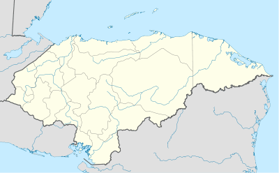 LEZ Location of the airport in Honduras | |||||||||||
| Runways | |||||||||||
| |||||||||||
La Esperanza Airport (IATA: LEZ, ICAO: MHLE) is an airport serving the cities of La Esperanza and Intibucá in Intibucá Department, Honduras.
See also
 Aviation portal
- List of airports in Honduras
References
- ↑ Airport information for LEZ at Great Circle Mapper.
- ↑ Google Maps - La Esperanza
External links
- HERE Maps - La Esperanza
- OpenStreetMaps - La Esperanza
- OurAirports - La Esperanza
- Skyvector Aeronautical Charts - La Esperanza
This article is issued from Wikipedia - version of the 12/5/2016. The text is available under the Creative Commons Attribution/Share Alike but additional terms may apply for the media files.