Lac-Legendre, Quebec
| Lac-Legendre | |
|---|---|
| Unorganized territory | |
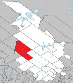 Location within Matawinie RCM. | |
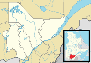 Lac-Legendre Location in central Quebec. | |
| Coordinates: 46°41′N 74°22′W / 46.683°N 74.367°WCoordinates: 46°41′N 74°22′W / 46.683°N 74.367°W[1] | |
| Country |
|
| Province |
|
| Region | Lanaudière |
| RCM | Matawinie |
| Constituted | January 1, 1986 |
| Government[2] | |
| • Federal riding | Joliette |
| • Prov. riding | Bertrand |
| Area[2][3] | |
| • Total | 768.10 km2 (296.57 sq mi) |
| • Land | 705.26 km2 (272.30 sq mi) |
| Population (2011)[3] | |
| • Total | 0 |
| • Density | 0.0/km2 (0/sq mi) |
| • Pop 2006-2011 |
|
| • Dwellings | 0 |
| Time zone | EST (UTC−5) |
| • Summer (DST) | EDT (UTC−4) |
| Highways | No major routes |
Lac-Legendre is an unorganized territory in the Lanaudière region of Quebec, Canada, part of the Matawinie Regional County Municipality.
See also
References
- ↑ Reference number 149706 of the Commission de toponymie du Québec (French)
- 1 2 Geographic code 62910 in the official Répertoire des municipalités (French)
- 1 2 Statistics Canada 2011 Census - Lac-Legendre census profile
 |
Lac-de-la-Maison-de-Pierre | Lac-Matawin | | |
| Lac-Santé Baie-des-Chaloupes |
|
|||
| ||||
| | ||||
| Lac-des-Dix-Milles | Saint-Donat | Saint-Guillaume-Nord |
| Municipalities | |
|---|---|
| Parishes | |
| Unorganized Territories | |
| |
This article is issued from Wikipedia - version of the 3/1/2014. The text is available under the Creative Commons Attribution/Share Alike but additional terms may apply for the media files.