Laurierville, Quebec
| Laurierville | |
|---|---|
| Municipality | |
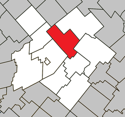 Location within L'Érable RCM. | |
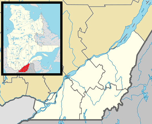 Laurierville Location in southern Quebec. | |
| Coordinates: 46°18′N 71°39′W / 46.300°N 71.650°WCoordinates: 46°18′N 71°39′W / 46.300°N 71.650°W[1] | |
| Country |
|
| Province |
|
| Region | Centre-du-Québec |
| RCM | L'Érable |
| Constituted | November 26, 1997 |
| Government[2] | |
| • Mayor | Marc Simoneau |
| • Federal riding | Mégantic—L'Érable |
| • Prov. riding | Lotbinière |
| Area[2][3] | |
| • Total | 108.80 km2 (42.01 sq mi) |
| • Land | 106.97 km2 (41.30 sq mi) |
| Population (2011)[3] | |
| • Total | 1,454 |
| • Density | 13.6/km2 (35/sq mi) |
| • Pop 2006-2011 |
|
| • Dwellings | 602 |
| Time zone | EST (UTC−5) |
| • Summer (DST) | EDT (UTC−4) |
| Postal code(s) | G0S 1P0 |
| Area code(s) | 819 |
| Highways |
|
| Website |
www |
Laurierville is a municipality in the Centre-du-Québec region of the province of Quebec in Canada.
It was constituted on November 26, 1997 by the amalgamation of the village municipality of Laurierville and the municipality of Sainte-Julie (the latter not to be confused with a different, modern-day Sainte-Julie in Montérégie). Laurierville contains the new storage warehouse of the Federation of Maple Sugar Producers of Quebec.
References
 |
Val-Alain | Lyster | | |
| Notre-Dame-de-Lourdes Plessisville (parish) |
|
Inverness | ||
| ||||
| | ||||
| Saint-Pierre-Baptiste |
| Cities | |
|---|---|
| Municipalities | |
| Parishes | |
| |
This article is issued from Wikipedia - version of the 8/21/2015. The text is available under the Creative Commons Attribution/Share Alike but additional terms may apply for the media files.