Lerona, West Virginia
| Lerona, West Virginia | |
|---|---|
| Unincorporated community | |
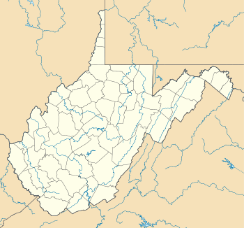 Lerona, West Virginia  Lerona, West Virginia Location within the state of West Virginia | |
| Coordinates: 37°29′58″N 80°58′44″W / 37.49944°N 80.97889°WCoordinates: 37°29′58″N 80°58′44″W / 37.49944°N 80.97889°W | |
| Country | United States |
| State | West Virginia |
| County | Mercer |
| Elevation | 2,533 ft (772 m) |
| Time zone | Eastern (EST) (UTC-5) |
| • Summer (DST) | EDT (UTC-4) |
| ZIP code | 25971 |
| Area code(s) | 304 & 681 |
| GNIS feature ID | 1554943[1] |
Lerona is an unincorporated community in Mercer County, West Virginia, United States. Lerona is located on West Virginia Route 20 5.5 miles (8.9 km) north-northeast of Athens. Lerona has a post office with ZIP code 25971.[2]
References
Municipalities and communities of Mercer County, West Virginia, United States | ||
|---|---|---|
| Cities | 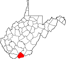 | |
| Towns | ||
| CDPs | ||
| Other communities |
| |
| Ghost town | ||
| Footnotes | ‡This populated place also has portions in an adjacent county or counties | |
This article is issued from Wikipedia - version of the 7/28/2016. The text is available under the Creative Commons Attribution/Share Alike but additional terms may apply for the media files.