Lisbunny, County Londonderry
This article is about the townland in County Londonderry. For other uses, see Lisbunny.
| Lisbunny | |
| Irish: Lios Buinighe | |
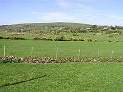 Lisbunny townland in 2007 |
|
 Lisbunny |
|
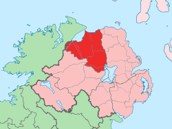
| District | Derry and Strabane |
|---|---|
| County | County Londonderry |
| Country | Northern Ireland |
| Sovereign state | United Kingdom |
| Postcode district | BT47 |
| Dialling code | 028 |
| EU Parliament | Northern Ireland |
| UK Parliament | Foyle |
| NI Assembly | Foyle |
|
|
Coordinates: 54°52′55″N 7°11′10″W / 54.882°N 7.186°W
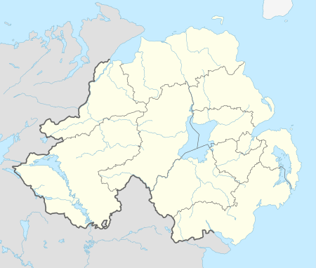
Lisbunny (from Irish: Lios Buinighe, meaning "fort of the flood")[1] is a townland of 849 acres in County Londonderry, Northern Ireland, about 3 miles Claudy, near the County Tyrone/Londonderry border. It is situated within Derry and Strabane district as well as the civil parish of Cumber Upper and the historic barony of Tirkeeran.[2]
It is a rural farming area with few amenities, although it does contain a stone quarry.
See also
References
- ↑ "Lisbunny". Place Names NI. Retrieved 10 May 2015.
- ↑ "Lisbunny". IreAtlas Townlands Database. Retrieved 10 May 2015.
| Wikimedia Commons has media related to Lisbunny, County Londonderry. |
This article is issued from Wikipedia - version of the 6/26/2016. The text is available under the Creative Commons Attribution/Share Alike but additional terms may apply for the media files.