Montgat
| Montgat | |||
|---|---|---|---|
| Municipality | |||
|
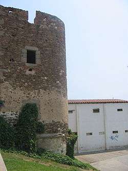
Ca l'Alsina | |||
| |||
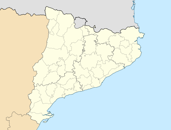 Montgat Location in Catalonia | |||
| Coordinates: 41°28′08″N 2°16′50″E / 41.469°N 2.2805°ECoordinates: 41°28′08″N 2°16′50″E / 41.469°N 2.2805°E | |||
| Autonomous community | Catalonia | ||
| Comarca | Maresme | ||
| Government | |||
| • Mayor | Rosa Funtané Vilà (2015)[1] | ||
| Area[2] | |||
| • Total | 2.9 km2 (1.1 sq mi) | ||
| Elevation | 20 m (70 ft) | ||
| Population (2014)[1] | |||
| • Total | 11,315 | ||
| • Density | 3,900/km2 (10,000/sq mi) | ||
| Website |
www | ||

Montgat (Catalan pronunciation: [muŋˈɡat]) is a municipality in the comarca of the Maresme in Catalonia, Spain. It is situated on the coast between Badalona (Barcelonès) and El Masnou, to the north-east of Barcelona. The town is both a tourist centre and a (somewhat exclusive) dormitory town for Barcelona. The C-31 autopista, B-20 autopista, the main N-II road and a RENFE railway line run through the town.
Demography
| 1900 | 1930 | 1950 | 1970 | 1986 | 2014 |
|---|---|---|---|---|---|
| n/a | n/a | 2911 | 5020 | 7276 | 11315 |
References
- 1 2 "Ajuntament de Montgat". Generalitat of Catalonia. Retrieved 2015-11-13.
- ↑ "El municipi en xifres: Montgat". Statistical Institute of Catalonia. Retrieved 2015-11-23.
- Panareda Clopés, Josep Maria; Rios Calvet, Jaume; Rabella Vives, Josep Maria (1989). Guia de Catalunya, Barcelona:Caixa de Catalunya. ISBN 84-87135-01-3 (Spanish). ISBN 84-87135-02-1 (Catalan).
External links
- Official website (Catalan)
- Information - Generalitat de Catalunya (Catalan)
- Statistical information - Institut d'Estadística de Catalunya (Catalan)
 |
Tiana | Alella | | |
| Badalona | |
El Masnou | ||
| ||||
| | ||||
| Balearic Sea |
.svg.png)
This article is issued from Wikipedia - version of the 1/25/2016. The text is available under the Creative Commons Attribution/Share Alike but additional terms may apply for the media files.