Montseny
This article is about the municipality. For the mountain range, see Montseny Massif. For other uses, see Montseny (disambiguation).
| Montseny | ||
|---|---|---|
| Municipality | ||
|
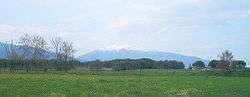
Montseny seen from Cardedeu | ||
| ||
 Montseny 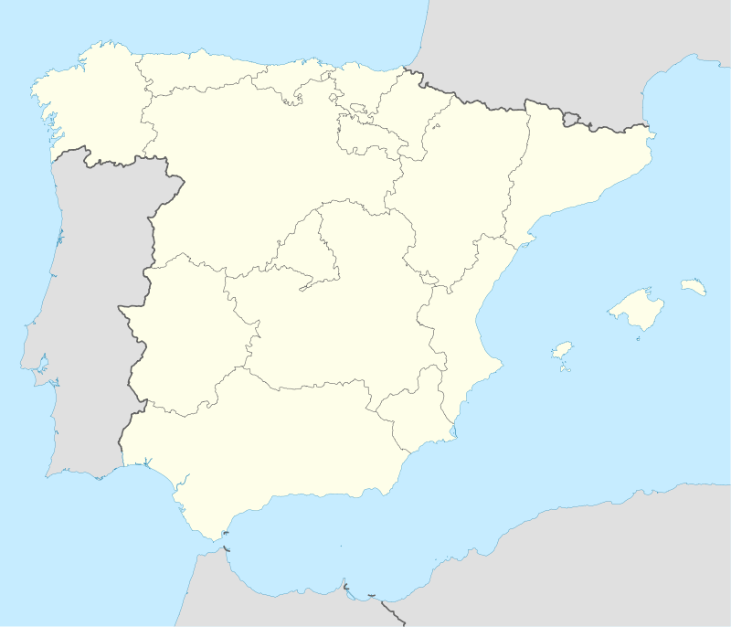 Montseny Location in Catalonia | ||
| Coordinates: 41°45′00″N 2°23′42″E / 41.75°N 2.395°ECoordinates: 41°45′00″N 2°23′42″E / 41.75°N 2.395°E | ||
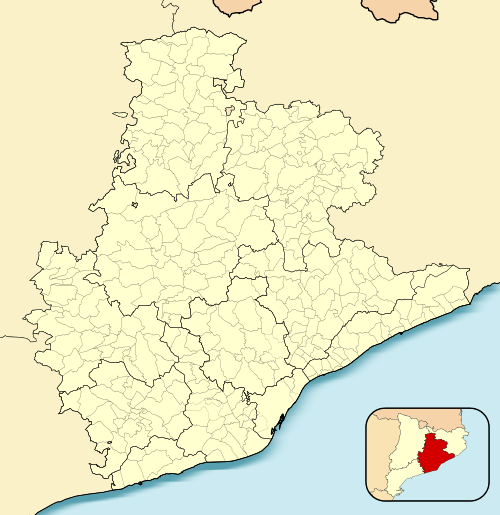
| Province | Barcelona | |
| Comarca | Vallès Oriental | |
| Government | ||
| • Mayor | Alfons Planas Jubany (2015)[1] | |
| Area[2] | ||
| • Total | 26.8 km2 (10.3 sq mi) | |
| Elevation | 528 m (1,732 ft) | |
| Population (2014)[1] | ||
| • Total | 332 | |
| • Density | 12/km2 (32/sq mi) | |
| Website |
www | |
Montseny is a municipality and village in the Vallès Oriental comarca in Catalonia. As of 2014, the population was 332.[3]
The village is located at the feet of the Montseny Massif.[4]
See also
References
- 1 2 "Ajuntament de Montseny". Generalitat of Catalonia. Retrieved 2015-11-13.
- ↑ "El municipi en xifres: Montseny". Statistical Institute of Catalonia. Retrieved 2015-11-23.
- ↑ Instituto Nacional de Estadística
- ↑ Montseny Website
External links
- Official website (Catalan)
 |
Viladrau | Arbúcies | | |
| El Brull | |
|||
| ||||
| | ||||
| Tagamanent | Sant Pere de Vilamajor | Fogars de Montclús |
.svg.png)
This article is issued from Wikipedia - version of the 11/10/2016. The text is available under the Creative Commons Attribution/Share Alike but additional terms may apply for the media files.