Mount Fryatt
| Mount Fryatt | |
|---|---|
 Mount Fryatt | |
| Highest point | |
| Elevation | 3,361 m (11,027 ft) [1][2] |
| Prominence | 1,608 m (5,276 ft) [3][4] |
| Listing | |
| Coordinates | 52°33′01″N 117°54′37″W / 52.55028°N 117.91028°WCoordinates: 52°33′01″N 117°54′37″W / 52.55028°N 117.91028°W [4] |
| Geography | |
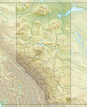
| Location | Alberta, Canada |
| Parent range | Canadian Rockies |
| Topo map | NTS 83C/12 |
| Climbing | |
| First ascent | 1926 J. Hickson; H. Palmer; H. Fuhrer |
| Easiest route |
South-West Face (Normal Route) II 5.4 West Ridge Direct III 5.8 |
Mount Fryatt is Alberta's 26th highest peak. It was named in 1920, after Captain Charles Fryatt, a British merchant seaman who was executed by the Germans during World War I. It lies within peaks that are between the Athabasca and Whirlpool Rivers in Jasper National Park.[1][3]
See also
- Mountains of Alberta
- Brussels Peak
References
- 1 2 "Mount Fryatt". PeakFinder.com. Retrieved 2012-11-03.
- ↑ "British Columbia and Alberta: The Ultra-Prominent Page". Peaklist.org. Retrieved 2012-11-03.
- 1 2 "Mount Fryatt". Bivouac.com. Retrieved 2012-11-03.
- 1 2 "Mount Fryatt, Alberta". Peakbagger.com. Retrieved 2012-11-03.
This article is issued from Wikipedia - version of the 1/18/2016. The text is available under the Creative Commons Attribution/Share Alike but additional terms may apply for the media files.