Mount King Edward
| Mount King Edward | |
|---|---|
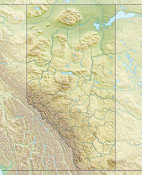 Mount King Edward Location in Alberta | |
| Highest point | |
| Elevation | 3,490 m (11,450 ft) [1] |
| Prominence | 770 m (2,530 ft) [2] |
| Listing | Mountains of Alberta |
| Coordinates | 52°09′23″N 117°31′10″W / 52.15639°N 117.51944°WCoordinates: 52°09′23″N 117°31′10″W / 52.15639°N 117.51944°W [3] |
| Geography | |
| Location | Alberta-British Columbia, Canada |
| Parent range | Canadian Rockies |
| Topo map | NTS 83C/04 |
| Climbing | |
| First ascent | 1924 by J.W.A. Hickson, Howard Palmer, guided by Conrad Kain[1] |
| Easiest route | rock/snow climb |
Mount King Edward is a mountain located at the head of the Athabasca River valley in Jasper National Park, Canada. Mt. King Edward is situated on the Continental Divide with Mt. Columbia 5½ km east. The mountain was named in 1906 by Mary Schaffer after King Edward VII.[1]
Mt. King Edward should not be confused with King Edward Peak, 2,789 m (9,150 ft), just north of the US border, although it too was named after King Edward.
References
- 1 2 3 "Mount King Edward". PeakFinder.com. Retrieved 2004-06-05.
- ↑ "Mount King Edward". Bivouac.com. Retrieved 2008-12-14.
- ↑ "Little Alberta". Geographical Names Data Base. Natural Resources Canada. Retrieved 2013-05-18.
External links
- "Mount King Edward". BC Geographical Names.
- "Mount King Edward". PeakFinder.com. - photos
This article is issued from Wikipedia - version of the 5/24/2015. The text is available under the Creative Commons Attribution/Share Alike but additional terms may apply for the media files.