Mount Pilkington
| Mount Pilkington | |
|---|---|
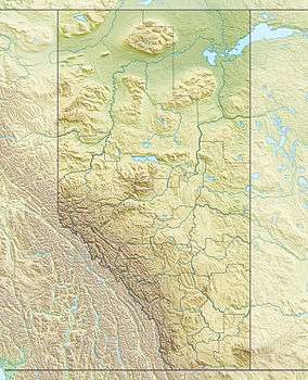 Mount Pilkington Location in Alberta and British Columbia | |
| Highest point | |
| Elevation | 3,301 m (10,830 ft) [1] |
| Prominence | 101 m (331 ft) |
| Coordinates | 51°43′24″N 116°55′42″W / 51.72333°N 116.92833°WCoordinates: 51°43′24″N 116°55′42″W / 51.72333°N 116.92833°W |
| Geography | |
| Location |
Alberta British Columbia |
| Parent range | Park Ranges |
| Topo map | NTS 82N/10 |
| Climbing | |
| First ascent | 1910 J.E.C. Eaton, B. Otto, H. Burnener. |
Mount Pilkington is located on the border of Alberta and British Columbia. It was named in 1898 after Charles Pilkington.[1][2] Mount Pilkington is located on the continental divide between the Campbell icefield and the Freshfield icefield.
See also
- List of peaks on the British Columbia-Alberta border
- Mountains of Alberta
- Mountains of British Columbia
References
This article is issued from Wikipedia - version of the 7/1/2011. The text is available under the Creative Commons Attribution/Share Alike but additional terms may apply for the media files.