Pella (CDP), Wisconsin
| Pella, Wisconsin | |
|---|---|
| Census-designated place | |
|
Looking west | |
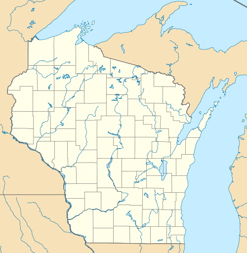 Pella, Wisconsin | |
| Coordinates: 44°44′33″N 88°48′12″W / 44.74250°N 88.80333°WCoordinates: 44°44′33″N 88°48′12″W / 44.74250°N 88.80333°W | |
| Country | United States |
| State | Wisconsin |
| County | Shawano |
| Area | |
| • Total | 1.719 sq mi (4.45 km2) |
| • Land | 1.544 sq mi (4.00 km2) |
| • Water | 0.175 sq mi (0.45 km2) |
| Elevation | 869 ft (265 m) |
| Population (2010)[1] | |
| • Total | 185 |
| • Density | 110/sq mi (42/km2) |
| Time zone | Central (CST) (UTC-6) |
| • Summer (DST) | CDT (UTC-5) |
| Area code(s) | 715 & 534 |
| GNIS feature ID | 1571159[2] |
Pella is a census-designated place in the town of Pella, Shawano County, Wisconsin, United States. Its population was 185 as of the 2010 census.[1] Pella is located along the Embarrass River.
Images
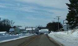
 Pella fire department
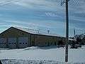
 Welcome sign
References
| Wikimedia Commons has media related to Pella, Wisconsin. |
- 1 2 "American FactFinder". U.S. Census Bureau. Retrieved 17 April 2011.
- ↑ U.S. Geological Survey Geographic Names Information System: Pella (CDP), Wisconsin
Municipalities and communities of Shawano County, Wisconsin, United States | ||
|---|---|---|
| Cities | 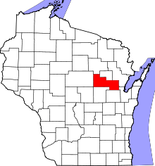 | |
| Villages | ||
| Towns | ||
| CDPs | ||
| Unincorporated communities | ||
| Indian reservations | ||
| Footnotes | ‡This populated place also has portions in an adjacent county or counties | |
This article is issued from Wikipedia - version of the 9/5/2016. The text is available under the Creative Commons Attribution/Share Alike but additional terms may apply for the media files.