Pleasant Gap, Alabama
| Pleasant Gap | |
|---|---|
| Unincorporated community | |
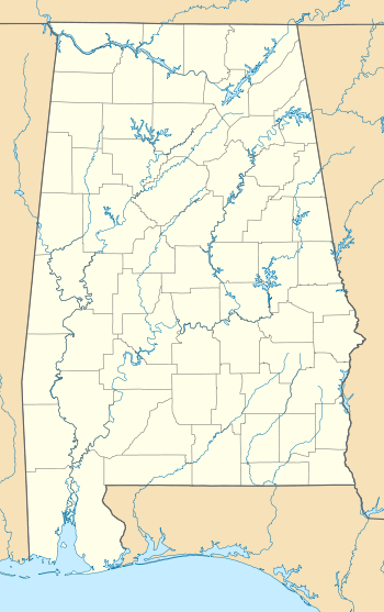 Pleasant Gap Location in Alabama. | |
| Coordinates: 33°59′15″N 85°31′12″W / 33.98750°N 85.52000°WCoordinates: 33°59′15″N 85°31′12″W / 33.98750°N 85.52000°W | |
| Country | United States |
| State | Alabama |
| County | Cherokee |
| Elevation | 689 ft (210 m) |
| Time zone | Central (CST) (UTC-6) |
| • Summer (DST) | CDT (UTC-5) |
| Area code(s) | 256 & 938 |
| GNIS feature ID | 160400[1] |
Pleasant Gap, also known as Pleasantsgap and Stocks Mills, is an unincorporated community in Cherokee County, in the U.S. state of Alabama.
History
A post office called Pleasant Gap was established in 1847, and remained in operation until it was discontinued in 1932.[2] The community was named from a nearby gap at Frog Mountain.[3]
Demographics
| Historical population | |||
|---|---|---|---|
| Census | Pop. | %± | |
| 1880 | 120 | — | |
| U.S. Decennial Census[4] | |||
References
- ↑ "Pleasant Gap". Geographic Names Information System. United States Geological Survey.
- ↑ "Cherokee County". Jim Forte Postal History. Retrieved 25 April 2015.
- ↑ "Cherokee County, Ala.". Calhoun Times. September 1, 2004. p. 45. Retrieved 24 April 2015.
- ↑ "U.S. Decennial Census". Census.gov. Retrieved June 6, 2013.
Municipalities and communities of Cherokee County, Alabama, United States | ||
|---|---|---|
| City | 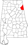 | |
| Towns | ||
| CDPs | ||
| Unincorporated communities | ||
| Ghost town | ||
| Footnotes | ‡This populated place also has portions in an adjacent county or counties | |
This article is issued from Wikipedia - version of the 1/9/2016. The text is available under the Creative Commons Attribution/Share Alike but additional terms may apply for the media files.