Pleasant Hill, Mississippi
| Pleasant Hill, Mississippi | |
|---|---|
| Unincorporated community | |
 Pleasant Hill  Pleasant Hill | |
| Coordinates: 34°54′52″N 89°53′40″W / 34.91444°N 89.89444°WCoordinates: 34°54′52″N 89°53′40″W / 34.91444°N 89.89444°W | |
| Country | United States |
| State | Mississippi |
| County | Desoto |
| Elevation | 361 ft (110 m) |
| Time zone | Central (CST) (UTC-6) |
| • Summer (DST) | CDT (UTC-5) |
| ZIP code | 38651 |
| Area code(s) | 662 |
| GNIS feature ID | 690380[1] |
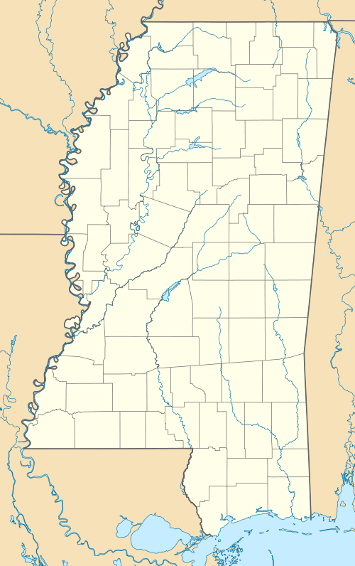
Pleasant Hill is an unincorporated community located in DeSoto County, Mississippi, United States, located approximately 9 miles (14 km) southwest of Hernando and 8 miles (13 km) southeast of Eudora, just east of Arkabutla Lake.
References
Municipalities and communities of DeSoto County, Mississippi, United States | ||
|---|---|---|
| Cities | 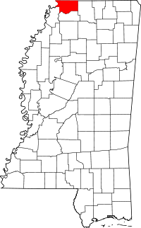 | |
| Town | ||
| CDPs | ||
| Other communities | ||


This article is issued from Wikipedia - version of the 7/30/2016. The text is available under the Creative Commons Attribution/Share Alike but additional terms may apply for the media files.