Qo‘ng‘irot
| Qo‘ng‘irot Uzbek: Qo‘ng‘irot / Қўнғирот Karakalpak: Qon‘ırat / Қоңырат | |
|---|---|
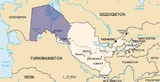
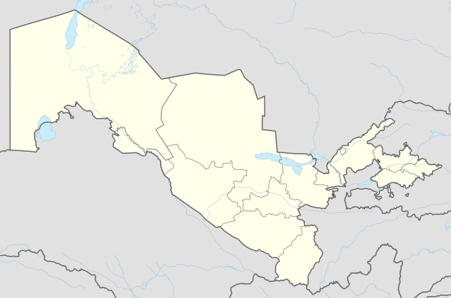 Qo‘ng‘irot Location in Uzbekistan | |
| Coordinates: 43°02′59″N 58°51′15″E / 43.04972°N 58.85417°ECoordinates: 43°02′59″N 58°51′15″E / 43.04972°N 58.85417°E | |
| Country |
|
| Autonomous Republic | Karakalpakstan |
| District | Qo‘ng‘irot District |
| Elevation | 60 m (200 ft) |
| Population (2012) | |
| • Total | 69,000 |
| Time zone | UZT (UTC+5) |
| Website | kungrad.com |
Qo‘ng‘irot also spelled as Kungrad (Uzbek: Qo‘ng‘irot / Қўнғирот; Karakalpak: Qon‘ırat / Қоңырат; Russian: Кунград), formerly known as Zheleznodorozhny (Russian: Железнодорожный, until 1969), is a town in Karakalpakstan, Uzbekistan, located in the Amu Darya delta on the left bank of the river. Population: 29 810 (1989).[1]
References
External links
This article is issued from Wikipedia - version of the 7/2/2016. The text is available under the Creative Commons Attribution/Share Alike but additional terms may apply for the media files.