Radum, California
Coordinates: 37°40′13″N 121°51′33″W / 37.67028°N 121.85917°W
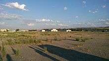
Abandoned buildings at Radum
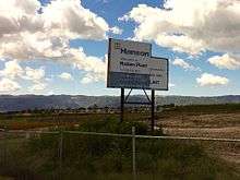
Sign for Hanson Aggregrates facility in what is now east Pleasanton, CA
| Radum | |
|---|---|
| Unincorporated community | |
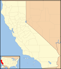 Radum  Radum Location in California | |
| Coordinates: 37°40′13″N 121°51′33″W / 37.67028°N 121.85917°W | |
| Country | United States |
| State | California |
| County | Alameda County |
| Elevation[1] | 361 ft (110 m) |
Radum (formerly, Radum Station) is an unincorporated community in Alameda County, California. It lies at an elevation of 361 feet (110 m).
References
Municipalities and communities of Alameda County, California, United States | ||
|---|---|---|
| Cities | 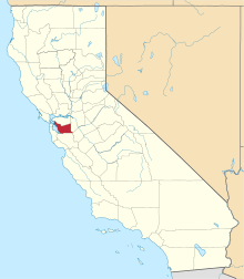 | |
| CDPs | ||
| Unincorporated communities | ||
| Former settlements | ||
This article is issued from Wikipedia - version of the 7/5/2016. The text is available under the Creative Commons Attribution/Share Alike but additional terms may apply for the media files.