Reo, Indiana
| Reo | |
|---|---|
| Unincorporated community | |
 Reo  Reo | |
| Coordinates: 37°54′05″N 87°06′34″W / 37.90139°N 87.10944°WCoordinates: 37°54′05″N 87°06′34″W / 37.90139°N 87.10944°W | |
| Country | United States |
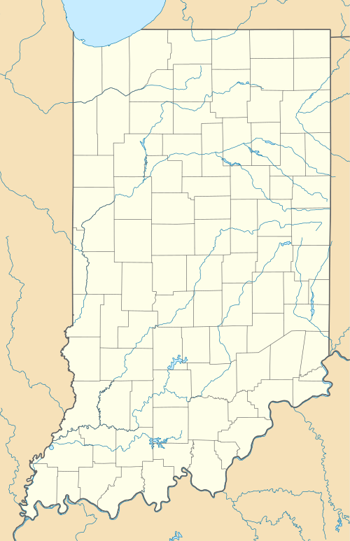
| State | Indiana |
| County | Spencer |
| Township | Ohio |
| Elevation[1] | 407 ft (124 m) |
| Time zone | Central (CST) (UTC-6) |
| • Summer (DST) | CDT (UTC-5) |
| ZIP code | 47635 |
| Area code(s) | 812 |
| GNIS feature ID | 441904 |
Reo is an unincorporated community in Ohio Township, Spencer County, Indiana, United States.[2]
The name Reo was coined in 1966 as an acronym of three nearby larger cities: Rockport, Indiana, Evansville, Indiana, and Owensboro, Kentucky.[3]
Education
Reo is served by nearby South Spencer High School and South Spencer Middle School.
Geography
Reo is located at 37°54′05″N 87°06′34″W / 37.90139°N 87.10944°W.
References
- ↑ "US Board on Geographic Names". United States Geological Survey. October 25, 2007. Retrieved 2016-07-10.
- ↑ "Reo, Indiana". Geographic Names Information System. United States Geological Survey. Retrieved 2016-07-10.
- ↑ "Reo". Spencer County, Indiana. Retrieved 4 October 2015.
This article is issued from Wikipedia - version of the 7/31/2016. The text is available under the Creative Commons Attribution/Share Alike but additional terms may apply for the media files.