Riverbend, Calgary
| Riverbend | |
|---|---|
| Neighbourhood | |
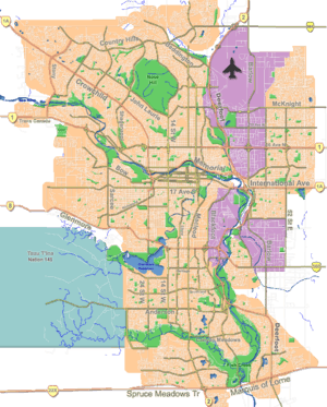 Riverbend Location of Riverbend in Calgary | |
| Coordinates: 50°58′22″N 114°00′56″W / 50.97278°N 114.01556°WCoordinates: 50°58′22″N 114°00′56″W / 50.97278°N 114.01556°W | |
| Country |
|
| Province |
|
| City |
|
| Quadrant | SE |
| Ward | 9 |
| Established | 1982 |
| Government[1] | |
| • Mayor | Naheed Nenshi |
| • Administrative body | Calgary City Council |
| • Councillor | Gian-Carlo Carra |
| Area | |
| • Total | 3.0 km2 (1.2 sq mi) |
| Elevation | 1,020 m (3,350 ft) |
| Population (2006)[2] | |
| • Total | 10,319 |
| • Average Income | $78,574 |
| Website | Riverbend Community Association |
Riverbend is a residential neighbourhood in the south-east quadrant of Calgary, Alberta. It is bounded to the north by Glenmore Trail, to the east by 24 Street E and to the west by Deerfoot Trail. It is developed in the Bow River floodplain, on its escarpment and the upland plain.
Riverbend was established as a neighbourhood in 1982. It is represented in the Calgary City Council by the Ward 9 councillor.
Demographics
In the City of Calgary's 2013 municipal census, Riverbend had a population of 9,682 living in 3,450 dwellings, nearly identical to its 2012 population of 9,684.[3] With a land area of 4.1 km2 (1.6 sq mi), it had a population density of 2,361/km2 (6,120/sq mi) in 2013.[4][5]
Residents in this community had a median household income of $78,574 in 2000, and there were 6.1% low income residents living in the neighbourhood.[6] As of 2000, 17.3% of the residents were immigrants. A proportion of 2.5% of the buildings were condominiums or apartments, and 3.5% of the housing was used for renting.[2]
Education
This neighbourhood has one public elementary school: Riverbend Elementary School (K-6), and one Catholic school: Holy Angels Elementary School. (K-6)
See also
References
- ↑ "Calgary Elections". City of Calgary. October 21, 2013. Retrieved October 22, 2013.
- 1 2 City of Calgary (2006). "Riverbend Community Statistics" (PDF). Retrieved 2007-05-16.
- ↑ "2013 Civic Census Results" (PDF). City of Calgary. 2013. Retrieved August 20, 2013.
- ↑ "Community Boundaries" (Esri shapefile). City of Calgary. Retrieved February 5, 2013.
- ↑ "2012 Civic Census Results" (PDF). City of Calgary. 2012. Retrieved February 4, 2013.
- ↑ City of Calgary (2004). "Ward 9 Profile" (PDF)."Ward 12 Profile" (PDF). Retrieved 2007-05-16.
External links
 |
Bow River | Ogden | Ogden Shops Industrial Area | |
| Fairview Industrial Area | |
Shepard Industrial | ||
| ||||
| | ||||
| Maple Ridge | Douglasdale-Douglasglen |