Witpoort, North West
| Witpoort | |
|---|---|
 Witpoort  Witpoort  Witpoort
| |
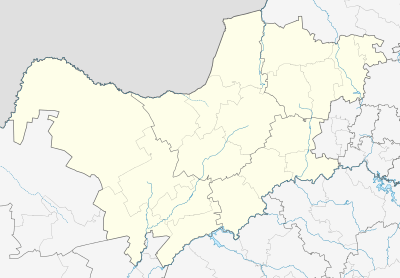
| Coordinates: 27°10′26″S 26°07′44″E / 27.174°S 26.129°ECoordinates: 27°10′26″S 26°07′44″E / 27.174°S 26.129°E | |
| Country | South Africa |
| Province | North West |
| District | Dr Kenneth Kaunda |
| Municipality | Maquassi Hills |
| Area[1] | |
| • Total | 26.52 km2 (10.24 sq mi) |
| Population (2011)[1] | |
| • Total | 259 |
| • Density | 9.8/km2 (25/sq mi) |
| Racial makeup (2011)[1] | |
| • Black African | 3.5% |
| • Coloured | 1.9% |
| • White | 94.6% |
| First languages (2011)[1] | |
| • Afrikaans | 93.4% |
| • Tswana | 4.6% |
| • English | 1.5% |
| • Other | 0.4% |
| PO box | 2632 |
Witpoort is a town in Dr Kenneth Kaunda District Municipality in the North West province of South Africa.
References
- 1 2 3 4 "Main Place Witpoort". Census 2011.
Municipalities and communities of Dr Kenneth Kaunda District Municipality, North West | ||
|---|---|---|
District seat: Klerksdorp | ||
| Ventersdorp | .svg.png) | |
| Tlokwe | ||
| City of Matlosana | ||
| Maquassi Hills | ||
This article is issued from Wikipedia - version of the 1/3/2014. The text is available under the Creative Commons Attribution/Share Alike but additional terms may apply for the media files.