Saint-René, Quebec
| Saint-René | |
|---|---|
| Parish municipality | |
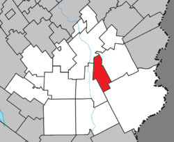 Location within Beauce-Sartigan RCM. | |
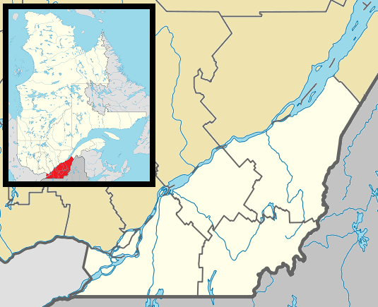 Saint-René Location in southern Quebec. | |
| Coordinates: 46°01′N 70°37′W / 46.017°N 70.617°WCoordinates: 46°01′N 70°37′W / 46.017°N 70.617°W[1] | |
| Country |
|
| Province |
|
| Region | Chaudière-Appalaches |
| RCM | Beauce-Sartigan |
| Constituted | January 1, 1945 |
| Named for | René Goupil[1] |
| Government[2] | |
| • Mayor | Jean-Guy Deblois |
| • Federal riding | Beauce |
| • Prov. riding | Beauce-Sud |
| Area[2][3] | |
| • Total | 61.40 km2 (23.71 sq mi) |
| • Land | 63.35 km2 (24.46 sq mi) |
|
There is an apparent contradiction between two authoritative sources | |
| Population (2011)[3] | |
| • Total | 658 |
| • Density | 10.4/km2 (27/sq mi) |
| • Pop 2006-2011 |
|
| • Dwellings | 285 |
| Time zone | EST (UTC−5) |
| • Summer (DST) | EDT (UTC−4) |
| Postal code(s) | G0M 1Z0 |
| Area code(s) | 418 and 581 |
| Highways | No major routes |
Saint-René is a parish in the Beauce-Sartigan Regional County Municipality in Quebec, Canada. It is part of the Chaudière-Appalaches region and the population is 603 as of 2009. It is named after Canadian martyr René Goupil.[1]
References
- Commission de toponymie du Québec
- Ministère des Affaires municipales, des Régions et de l'Occupation du territoire
 |
Saint-Georges | Saint-Côme–Linière | | |
| |
||||
| ||||
| | ||||
| Saint-Martin | Saint-Théophile |
| Cities & Towns | |
|---|---|
| Municipalities | |
| Parishes | |
| Villages | |
| |
This article is issued from Wikipedia - version of the 10/13/2015. The text is available under the Creative Commons Attribution/Share Alike but additional terms may apply for the media files.