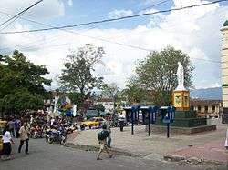
Santa Bárbara, Antioquia
| Santa Bárbara | |||
|---|---|---|---|
| Municipality and town | |||
 | |||
| |||
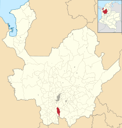 Location of the municipality and town of Santa Barbara in the Antioquia Department of Colombia | |||
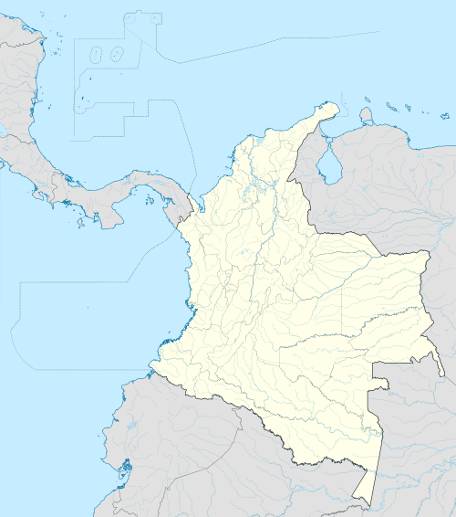 Santa Bárbara Location in Colombia | |||
| Coordinates: 5°52′29″N 75°33′58″W / 5.87472°N 75.56611°W | |||
| Country |
| ||
| Department |
| ||
| Subregion | Southwestern | ||
| Area | |||
| • Total | 491 km2 (190 sq mi) | ||
| Elevation | 1,800 m (5,900 ft) | ||
| Time zone | Colombia Standard Time (UTC-5) | ||
.svg.png)
.svg.png)
Santa Bárbara is a town and municipality in the Colombian department of Antioquia. Part of the subregion of Southwestern Antioquia. Santa Barbara is located in a valley about 2.5 hours drive from Medellín by car or bus.
Capital: Medellín | |||||||||||||||||||||||||||||||||||
| Regions and municipalities |
| ||||||||||||||||||||||||||||||||||
| Related topics | |||||||||||||||||||||||||||||||||||
Coordinates: 5°52′29″N 75°33′58″W / 5.87472°N 75.56611°W
This article is issued from Wikipedia - version of the 8/24/2016. The text is available under the Creative Commons Attribution/Share Alike but additional terms may apply for the media files.