Steubenville, Indiana
| Steubenville | |
|---|---|
| Unincorporated community | |
 Steubenville  Steubenville | |
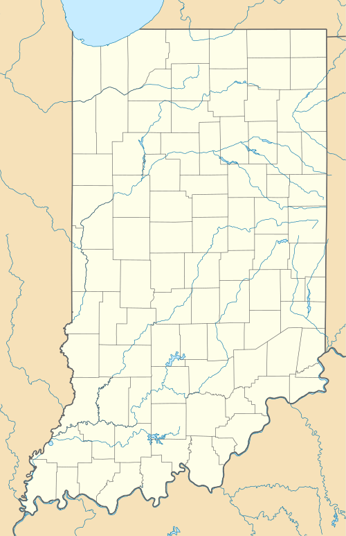
| Coordinates: 41°31′56″N 85°01′22″W / 41.53222°N 85.02278°WCoordinates: 41°31′56″N 85°01′22″W / 41.53222°N 85.02278°W | |
| Country | United States |
| State | Indiana |
| County | Steuben |
| Township | Steuben |
| Elevation[1] | 991 ft (302 m) |
| ZIP code | 46705 |
| FIPS code | 18-73106[2] |
| GNIS feature ID | 444135 |
Steubenville is an unincorporated community in Steuben Township, Steuben County, in the U.S. state of Indiana.[3]
History
Steubenville was a choice for the county seat of Steuben County in 1841. It was also a train stop for a short time before it was moved to Angola.
A post office was established at Steubenville in 1839, and remained in operation until it was discontinued in 1932.[4]
Geography
Steubenville is located at 41°31′56″N 85°01′22″W / 41.53222°N 85.02278°W.
References
- ↑ "US Board on Geographic Names". United States Geological Survey. 2007-10-25. Retrieved 2008-01-31.
- ↑ "American FactFinder". United States Census Bureau. Retrieved 2008-01-31.
- ↑ "Steubenville, Indiana". Geographic Names Information System. United States Geological Survey. Retrieved 2016-09-29.
- ↑ "Steuben County". Jim Forte Postal History. Retrieved September 29, 2016.
Municipalities and communities of Steuben County, Indiana, United States | ||
|---|---|---|
| City | ||
| Towns | ||
| Townships | ||
| Unincorporated communities |
| |
| Footnotes | ‡This populated place also has portions in an adjacent county or counties | |
This article is issued from Wikipedia - version of the 9/29/2016. The text is available under the Creative Commons Attribution/Share Alike but additional terms may apply for the media files.