Stratford, Quebec
| Stratford | |
|---|---|
| Township municipality | |
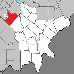 Location within Le Granit RCM. | |
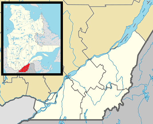 Stratford Location in southern Quebec. | |
| Coordinates: 45°47′N 71°17′W / 45.783°N 71.283°WCoordinates: 45°47′N 71°17′W / 45.783°N 71.283°W[1] | |
| Country |
|
| Province |
|
| Region | Estrie |
| RCM | Le Granit |
| Constituted | January 1, 1874 |
| Named for | Stratford-upon-Avon[1] |
| Government[2] | |
| • Mayor | Jacques Fontaine |
| • Federal riding | Mégantic—L'Érable |
| • Prov. riding | Mégantic |
| Area[2][3] | |
| • Total | 139.50 km2 (53.86 sq mi) |
| • Land | 120.45 km2 (46.51 sq mi) |
| Population (2011)[3] | |
| • Total | 1,062 |
| • Density | 8.8/km2 (23/sq mi) |
| • Pop 2006-2011 |
|
| • Dwellings | 913 |
| Time zone | EST (UTC−5) |
| • Summer (DST) | EDT (UTC−4) |
| Postal code(s) | G0Y 1P0 |
| Area code(s) | 418 and 581 |
| Highways |
|
| Website |
www |
Stratford is a township municipality in Le Granit Regional County Municipality in the Estrie region in Quebec, Canada. Its population in the Canada 2011 Census was 1,062.
The population is almost entirely francophone.[4]
Demographics
Population
| Canada census – Stratford, Quebec community profile | |||
|---|---|---|---|
| 2011 | 2006 | 2001 | |
| Population: | 1,062 (-2.2% from 2006) | 1,086 (+24.4% from 2001) | 873 (+11.1% from 1996) |
| Land area: | 120.45 km2 (46.51 sq mi) | 120.18 km2 (46.40 sq mi) | 120.18 km2 (46.40 sq mi) |
| Population density: | 8.8/km2 (23/sq mi) | 9.0/km2 (23/sq mi) | 7.3/km2 (19/sq mi) |
| Median age: | 55.3 (M: 55.5, F: 55.1) | 51.4 (M: 51.6, F: 51.3) | 46.8 (M: 46.3, F: 47.0) |
| Total private dwellings: | 913 | 914 | 501 |
| Median household income: | $51,204 | $39,708 | $32,433 |
| Notes: Population in 1996: 786[5] (+0.1% from 1991) - Population in 1991: 785[5] – References: 2011[3] 2006[6] 2001[7] | |||
References
- 1 2 Reference number 60899 of the Commission de toponymie du Québec (French)
- 1 2 Geographic code 30110 in the official Répertoire des municipalités (French)
- 1 2 3 "2011 Community Profiles". Canada 2011 Census. Statistics Canada. July 5, 2013. Retrieved 2014-01-28.
- ↑ 2006 Census, Statistics Canada, accessed 2012-04-16.
- 1 2 "Electronic Area Profiles". Canada 1996 Census. Statistics Canada. Retrieved 2013-05-11.
- ↑ "2006 Community Profiles". Canada 2006 Census. Statistics Canada. March 30, 2011. Retrieved 2011-08-18.
- ↑ "2001 Community Profiles". Canada 2001 Census. Statistics Canada. February 17, 2012. Retrieved 2014-01-28.
 |
Disraeli (parish) | Sainte-Praxède | | |
| Beaulac-Garthby | |
Stornoway | ||
| ||||
| | ||||
| Weedon | Lingwick |
| Cities | |
|---|---|
| Municipalities | |
| Parishes | |
| Townships | |
| |
This article is issued from Wikipedia - version of the 11/10/2016. The text is available under the Creative Commons Attribution/Share Alike but additional terms may apply for the media files.