Summersville, Kentucky
| Summersville | |
|---|---|
| Unincorporated community & census-designated place | |
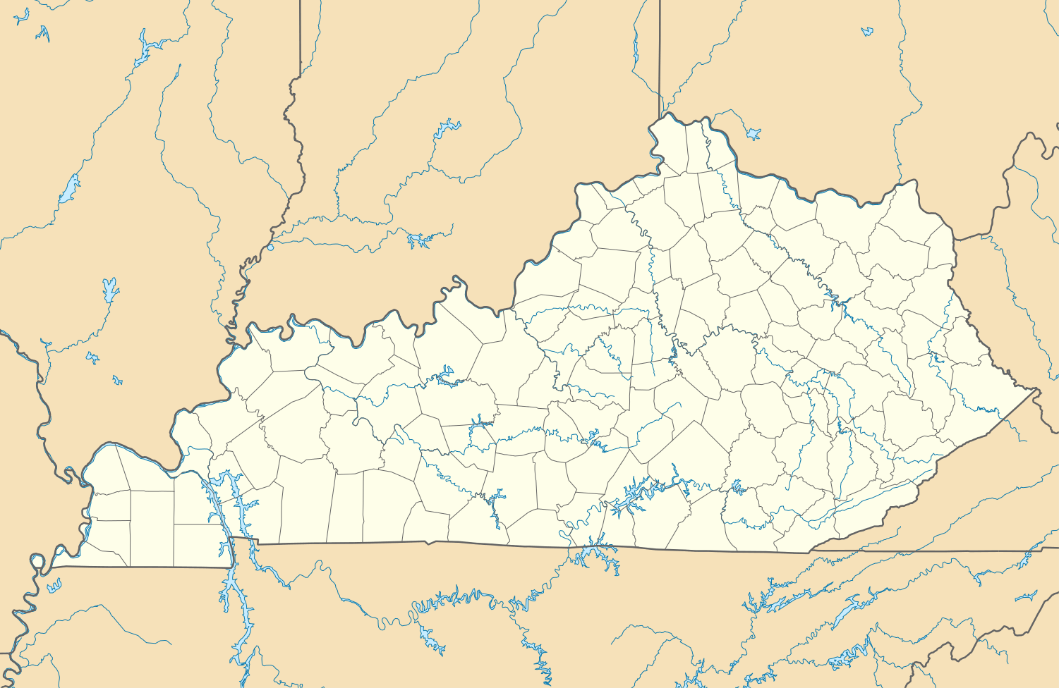 Summersville  Summersville Location within the state of Kentucky | |
| Coordinates: 37°19′34″N 85°32′40″W / 37.32611°N 85.54444°WCoordinates: 37°19′34″N 85°32′40″W / 37.32611°N 85.54444°W | |
| Country | United States |
| State | Kentucky |
| County | Green |
| Elevation | 804 ft (245 m) |
| Time zone | Central (CST) (UTC-6) |
| • Summer (DST) | CDT (UTC-5) |
| ZIP codes | 42782 |
| GNIS feature ID | 504784 |
Summersville is a census-designated place and unincorporated community in Green County, Kentucky, United States. It lies along Routes 61 and 323 northwest of the city of Greensburg, the county seat of Green County.[1] Its elevation is 804 feet (245 m).[2] Although it is unincorporated, it has a post office, with the ZIP code of 42782.[3] Annually in late July the residents host a festival named "Summersville Days".
Summersville was incorporated in 1817.[4]
References
- ↑ Rand McNally. The Road Atlas '06. Chicago: Rand McNally, 2006, p. 42.
- ↑ U.S. Geological Survey Geographic Names Information System: Summersville, Kentucky, Geographic Names Information System, 1979-09-20. Accessed 2007-12-31.
- ↑ Zip Code Lookup
- ↑ Collins, Lewis (1877). History of Kentucky. p. 294.
Municipalities and communities of Green County, Kentucky, United States | ||
|---|---|---|
| City |  | |
| CDP | ||
| Other unincorporated communities | ||
This article is issued from Wikipedia - version of the 10/20/2016. The text is available under the Creative Commons Attribution/Share Alike but additional terms may apply for the media files.