Urraúl Bajo
| Urraúl Bajo | ||
|---|---|---|
| ||
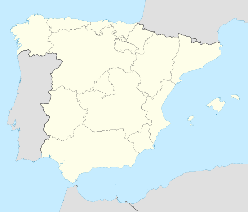 Urraúl Bajo Location in Spain | ||
| Coordinates: 42°42′50″N 1°19′20″W / 42.71389°N 1.32222°W | ||
| Country | Spain | |
| Comunidad Foral | Navarre | |
| Merindad | Sangüesa | |
| Comarca | Lumbier | |
| Partido Judicial | Agoitz (Aoiz) | |
| Area | ||
| • Total | 59.41 km2 (22.94 sq mi) | |
| Elevation | 455 m (1,493 ft) | |
| Population (2014) | ||
| • Total | 290 | |
| Time zone | CET (UTC+1) | |
| • Summer (DST) | CEST (UTC+2) | |
Urraúl Bajo is a town and municipality located in the province and autonomous community of Navarre, northern Spain. According to the 2014 census,[1] the municipality has a population of 290 inhabitants. The head office of the Global Ecovillage Network is located in the ecovillage Arterra Bizimodu which has been established in Urraúl Bajo in 2014.[2]
| Villages | Population (2014)[3] |
|---|---|
| Aldunate | 15 |
| Artieda | 111 |
| Grez | 11 |
| Nardués-Aldunate | 4 |
| Nardués-Andurra | 16 |
| Rípodas | 18 |
| San Vicente | 29 |
| Sansoáin | 19 |
| Tabar | 67 |
References
External links
 Media related to Urraúl Bajo at Wikimedia Commons
- URRAUL BAJO in the Bernardo Estornés Lasa - Auñamendi Encyclopedia (Euskomedia Fundazioa) (Spanish)
Coordinates: 42°42′50″N 1°19′23″W / 42.714°N 1.323°W
This article is issued from Wikipedia - version of the 5/14/2016. The text is available under the Creative Commons Attribution/Share Alike but additional terms may apply for the media files.