Tex Creek Wildlife Management Area
| Tex Creek Wildlife Management Area | |
|---|---|
|
IUCN category IV (habitat/species management area) | |
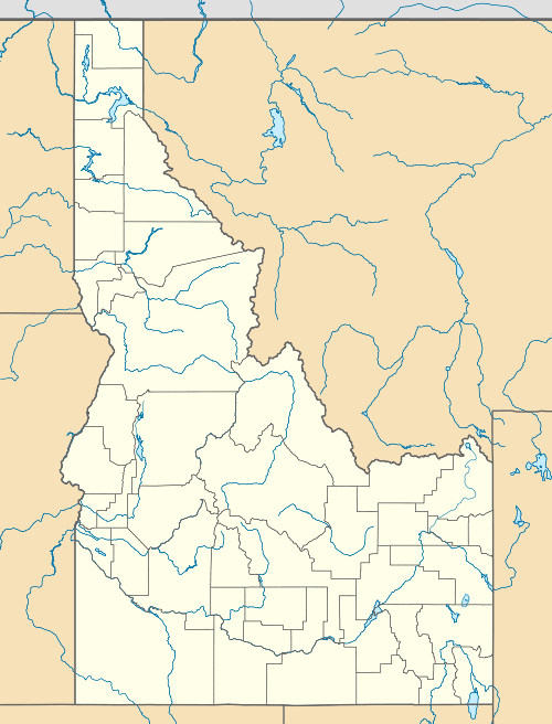 | |
| Location | Bonneville County, Idaho, United States |
| Nearest city | Idaho Falls, ID |
| Coordinates | 43°28′03″N 111°42′32″W / 43.467409°N 111.708942°WCoordinates: 43°28′03″N 111°42′32″W / 43.467409°N 111.708942°W |
| Area | 310,000 acres (1,254.5 km2) |
| Established | 1976 |
| Governing body | Idaho Department of Fish and Game |
| http://fishandgame.idaho.gov/ifwis/ibt/site.aspx?id=SE35 | |
Tex Creek Wildlife Management Area at 34,000 acres (140 km2) is an Idaho wildlife management area in Bonneville County east of Idaho Falls.[1] The WMA land was originally acquired to provide mitigation for the construction of the Ririe and Teton dams.[2]
The WMA supports moose, elk, mule deer and other game species over range of habitats.[3] There are opportunities for hiking, horseback riding, and hunting in the WMA.[4]
References
- ↑ "Tex Creek Wildlife Management Area". Idaho Department of Fish and Game. Archived from the original on February 21, 2013. Retrieved May 30, 2012.
- ↑ Thomas, Terry (July 1999). "Tex Creek Wildlife Management Area Management Plan". Idaho Department of Fish and Game. Archived from the original (PDF) on February 21, 2013. Retrieved May 30, 2012.
- ↑ "Tex Creek Wildlife Management Area, Idaho". Public Lands Information Center. Archived from the original on February 21, 2013. Retrieved May 30, 2012.
- ↑ "Wildlife Management Areas". Idaho Department of Fish and Game. Archived from the original on February 20, 2013. Retrieved May 30, 2012.
This article is issued from Wikipedia - version of the 11/19/2016. The text is available under the Creative Commons Attribution/Share Alike but additional terms may apply for the media files.