Villeron
| Villeron | |
|---|---|
|
The church of Saint-Germain-d'Auxerre, in Villeron | |
 Villeron | |
|
Location within Île-de-France region 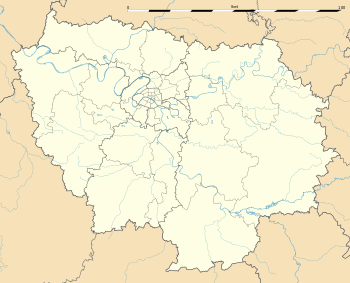 Villeron | |
| Coordinates: 49°03′30″N 2°32′37″E / 49.0583°N 2.5436°ECoordinates: 49°03′30″N 2°32′37″E / 49.0583°N 2.5436°E | |
| Country | France |
| Region | Île-de-France |
| Department | Val-d'Oise |
| Arrondissement | Sarcelles |
| Canton | Goussainville |
| Intercommunality | Roissy Pays de France |
| Government | |
| • Mayor (2014–2020) | Dominique Kudla |
| Area1 | 5.61 km2 (2.17 sq mi) |
| Population (2013)2 | 787 |
| • Density | 140/km2 (360/sq mi) |
| Time zone | CET (UTC+1) |
| • Summer (DST) | CEST (UTC+2) |
| INSEE/Postal code | 95675 / 95380 |
|
1 French Land Register data, which excludes lakes, ponds, glaciers > 1 km² (0.386 sq mi or 247 acres) and river estuaries. 2 Population without double counting: residents of multiple communes (e.g., students and military personnel) only counted once. | |
%2C_%C3%A9glise_Saint-Germain-d'Auxerre.jpg)
Villeron is a commune in the Val-d'Oise department in Île-de-France in northern France.
The town is bordered by Louvres, Puiseux-en-France, Marly-la-Ville, Survilliers, Vémars and Chennevières-lès-Louvres.
See also
References
External links
| Wikimedia Commons has media related to Villeron. |
- Mérimée database - Cultural heritage (French)
- Land use (IAURIF) (English)
This article is issued from Wikipedia - version of the 2/28/2016. The text is available under the Creative Commons Attribution/Share Alike but additional terms may apply for the media files.