Voghjaberd
Coordinates: 40°09′59″N 44°38′54″E / 40.16639°N 44.64833°E
| Voghjaberd Ողջաբերդ | |
|---|---|
|
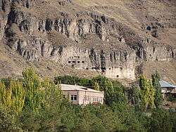
Voghjaberd and the cave settlement | |
 Voghjaberd | |
| Coordinates: 40°09′59″N 44°38′54″E / 40.16639°N 44.64833°E | |
| Country | Armenia |
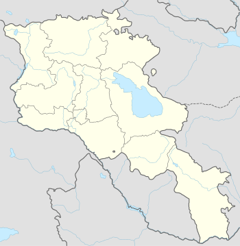
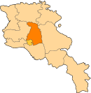
| Marz (Province) | Kotayk |
| Population (2001) | |
| • Total | 957 |
| Time zone | (UTC+4) |
| • Summer (DST) | (UTC+5) |
Voghjaberd (Armenian: Ողջաբերդ, also Romanized as Vokhchaberd) is a village in the Kotayk Province of Armenia.
_%D5%AF%D5%A1%D5%B4%D5%A1%D6%80%D5%A7%D5%B6_%D5%BF%D5%A5%D5%BD%D5%A1%D6%80%D5%A1%D5%B6%D5%A8.jpg)
Panorama from the Ararat (Charents) Arch in Voghjaberd
References
- Voghjaberd at GEOnet Names Server
- Report of the results of the 2001 Armenian Census, National Statistical Service of the Republic of Armenia
This article is issued from Wikipedia - version of the 6/3/2015. The text is available under the Creative Commons Attribution/Share Alike but additional terms may apply for the media files.