Wān Mae Aw
| Wān Mae Aw | |
|---|---|
| Village | |
 | |
| Coordinates: 19°39′N 97°57′E / 19.650°N 97.950°E | |
| Country |
|
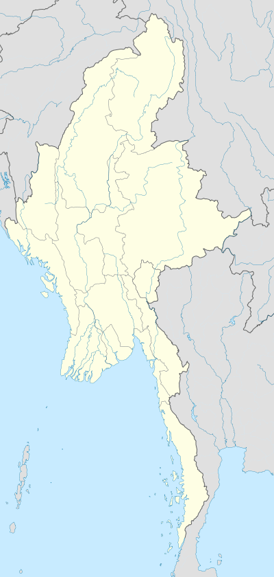
| State | Shan State |
| District | Langkho District |
| Township | Langkho Township |
| Elevation[1] | 2,566 ft (782 m) |
| Time zone | MMT (UTC+6:30) |
Wān Mae Aw,[2] is a village in Langkho Township, Langkho District, southern Shan State.
Geography
Wān Mae Aw lies by the Nam Na-mon River in a mountainous area, 4 km to the east of Loi Lan mountain and 5 km west from Wān Na-mon, a small town near the border with Mae Hong Son Province of Thailand.[1][3]
Further reading
References
- 1 2 GoogleEarth
- ↑ Myanmar Information Management Unit - Langkho Township, Shan State
- ↑ "Wān Na-mon". Traveling Luck. Retrieved 22 May 2016.
Capital: Langkho | |
|
This article is issued from Wikipedia - version of the 5/24/2016. The text is available under the Creative Commons Attribution/Share Alike but additional terms may apply for the media files.