Ware, Kentucky
| Ware | |
|---|---|
| Unincorporated community | |
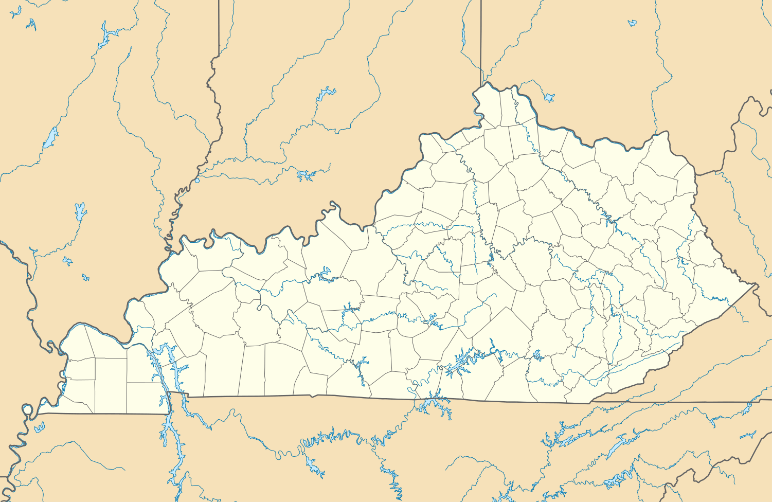 Ware  Ware Location within the state of Kentucky | |
| Coordinates: 37°12′31″N 84°46′8″W / 37.20861°N 84.76889°WCoordinates: 37°12′31″N 84°46′8″W / 37.20861°N 84.76889°W | |
| Country | United States |
| State | Kentucky |
| County | Casey |
| Elevation | 1,132 ft (345 m) |
| Time zone | Central (CST) (UTC-6) |
| • Summer (DST) | CST (UTC-5) |
| GNIS feature ID | 509318[1] |
Ware is an unincorporated community in Casey County, Kentucky, United States. Its Post Office [2] has ceased to exist.
References
Municipalities and communities of Casey County, Kentucky, United States | ||
|---|---|---|
| City |  | |
| Unincorporated Communities | ||
| Ghost Town | ||
This article is issued from Wikipedia - version of the 7/27/2016. The text is available under the Creative Commons Attribution/Share Alike but additional terms may apply for the media files.