Weston, Iowa
| Weston, Iowa | |
|---|---|
| Census-designated place | |
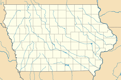 Weston Location in Iowa | |
| Coordinates: 41°20′26″N 95°44′26″W / 41.34056°N 95.74056°WCoordinates: 41°20′26″N 95°44′26″W / 41.34056°N 95.74056°W | |
| Country | United States |
| State | Iowa |
| County | Pottawattamie |
| Township | Hazel Dell |
| Population (2010) | |
| • Total | 92 |
| Time zone | Central (CST) |
Weston is a census-designated place[1] located in the southeastern portion of Hazel Dell Township in Pottawattamie County in the state of Iowa. As of the 2010 census the population was 92.[2]
Its location is almost exactly between the cities of Council Bluffs and Underwood near Interstate 80.
References
- ↑ Website Services & Coordination Staff(WSCS). "2010 Census Interactive Population Search".
- ↑ Center for New Media and Promotions(C2PO). "2010 Census".
Municipalities and communities of Pottawattamie County, Iowa, United States | ||
|---|---|---|
| Cities | ||
| Townships | ||
| CDPs | ||
| Other community | ||
| Footnotes | ‡This populated place also has portions in an adjacent county or counties | |
This article is issued from Wikipedia - version of the 5/27/2016. The text is available under the Creative Commons Attribution/Share Alike but additional terms may apply for the media files.