Wirtz, Virginia
| Wirtz, Virginia | |
|---|---|
| Unincorporated community | |
 Wirtz  Wirtz | |
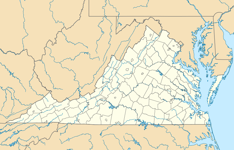
| Coordinates: 37°04′36″N 79°53′22″W / 37.07667°N 79.88944°WCoordinates: 37°04′36″N 79°53′22″W / 37.07667°N 79.88944°W | |
| Country | United States |
| State | Virginia |
| County | Franklin |
| Elevation | 1,099 ft (335 m) |
| Time zone | Eastern (EST) (UTC-5) |
| • Summer (DST) | EDT (UTC-4) |
| ZIP code | 24184 |
| Area code(s) | 540 |
| GNIS feature ID | 1477892[1] |
Wirtz is an unincorporated community in Franklin County, Virginia, United States. Wirtz is located along a railroad 5.4 miles (8.7 km) north of Rocky Mount. Wirtz has a post office with ZIP code 24184, which opened on April 20, 1893.[2][3]
The Gwin Dudley Home Site was listed on the National Register of Historic Places in 2008.[4]
References
- ↑ "Wirtz". Geographic Names Information System. United States Geological Survey.
- ↑ United States Postal Service (2012). "USPS - Look Up a ZIP Code". Retrieved 2012-02-15.
- ↑ "Postmaster Finder - Post Offices by ZIP Code". United States Postal Service. Retrieved October 6, 2012.
- ↑ National Park Service (2010-07-09). "National Register Information System". National Register of Historic Places. National Park Service.
Municipalities and communities of Franklin County, Virginia, United States | ||
|---|---|---|
| Towns | 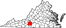 | |
| CDPs | ||
| Unincorporated communities | ||
This article is issued from Wikipedia - version of the 10/19/2016. The text is available under the Creative Commons Attribution/Share Alike but additional terms may apply for the media files.