Xamindele Airport
| Xamindele Airport Toto Airport | |||||||||||
|---|---|---|---|---|---|---|---|---|---|---|---|
| IATA: none – ICAO: FNTO | |||||||||||
| Summary | |||||||||||
| Airport type | Public | ||||||||||
| Serves | Toto | ||||||||||
| Elevation AMSL | 1,775 ft / 541 m | ||||||||||
| Coordinates | 7°8′45″S 14°14′55″E / 7.14583°S 14.24861°ECoordinates: 7°8′45″S 14°14′55″E / 7.14583°S 14.24861°E | ||||||||||
| Map | |||||||||||
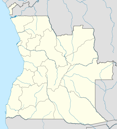 FNTO Location of Xamindele Airport in Angola | |||||||||||
| Runways | |||||||||||
| |||||||||||
Xamindele Airport (Portuguese: Aeroporto Xamindele, ICAO: FNTO) is a public use airstrip serving the village of Toto in Uíge Province, Angola.
See also
 Angola portal
 Aviation portal
- List of airports in Angola
- Transport in Angola
References
- ↑ Airport information for FNTO at Great Circle Mapper.
- ↑ Airport record for Xamindele Airport at Landings.com. Retrieved 2013-09-02
- ↑ Google Maps - Xamindele
External links
This article is issued from Wikipedia - version of the 12/5/2016. The text is available under the Creative Commons Attribution/Share Alike but additional terms may apply for the media files.