Xinyi, Guangdong
| Xinyi 信宜市 | |
|---|---|
| County-level city | |
 | |
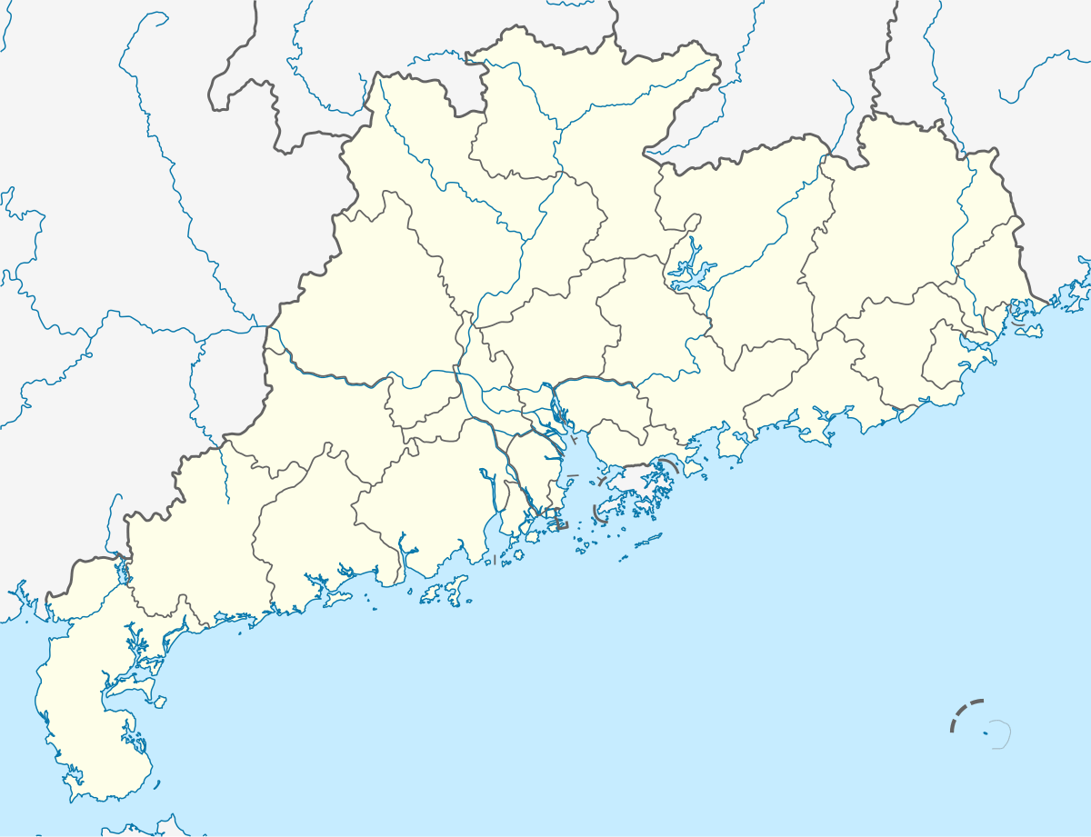 Xinyi Location in Guangdong | |
| Coordinates: 22°21′N 110°57′E / 22.350°N 110.950°ECoordinates: 22°21′N 110°57′E / 22.350°N 110.950°E | |
| Country | People's Republic of China |
| Province | Guangdong |
| Prefecture-level city | Maoming |
| Area | |
| • Total | 3,081 km2 (1,190 sq mi) |
| Population (2010 census) | 913,708 |
| Time zone | China Standard (UTC+8) |
| Postal code | 525300 |
| Area code(s) | (+86) 668 |
| Vehicle registration | 粤 K |
| Website | http://www.xinyi.gov.cn/ |
| Xinyi | |||||||||
| Chinese | 信宜 | ||||||||
|---|---|---|---|---|---|---|---|---|---|
| Postal | Sunyi | ||||||||
| |||||||||
Xinyi, formerly romanized as Sunyi,[lower-alpha 1] is a county-level city in Guangdong Province, China. It is administered as part of the prefecture-level city of Maoming in the southwestern corner of the province.[2] It has a population of 913,708 people.
History
Under the Qing, Xinyi County formed part of the commandery of Gaozhou.[1] After the Chinese Civil War, it was reörganized under Maoming.
Transportation
Schools
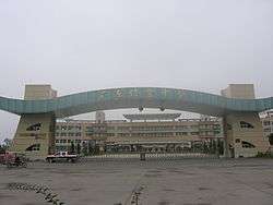
Xinyi Middle School, the first county school in Xinyi District, was set up in 1916. It is now a national-level model high school.
Districts
Notes
References
External links
- Official website (Chinese)
This article is issued from Wikipedia - version of the 10/26/2016. The text is available under the Creative Commons Attribution/Share Alike but additional terms may apply for the media files.