Alberta Highway 7
| ||||
|---|---|---|---|---|
 | ||||
| Route information | ||||
| Length: | 26 km (16 mi) | |||
| Major junctions | ||||
| West end: |
| |||
|
| ||||
| East end: |
| |||
| Location | ||||
| Specialized and rural municipalities: | Foothills No. 31 M.D. | |||
| Towns: | Black Diamond, Okotoks | |||
| Highway system | ||||
|
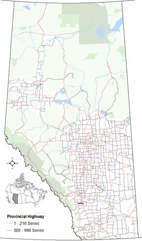
Provincial highways in Alberta
| ||||

Alberta Provincial Highway No. 7 is an east-west highway in the Calgary Region of Alberta, Canada.[1] It spans approximately 26 km (16 mi) from Highway 22 (Cowboy Trail) to Highway 2.[2][3]
Preceded by Highway 22, Highway 7 begins in the Town of Black Diamond, passing by the Town of Okotoks. East of Okotoks, the highway ends at Highway 2 north of the Hamlet of Aldersyde, and is succeeded by Highway 547.[2][3]
Major intersections
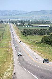
Looking in direction of Black Diamond
The following is a list of major intersections along Alberta Highway 7 from west to east.[2][3]
| Rural/specialized municipality | Location | km[2][3] | mi | Destinations | Notes |
|---|---|---|---|---|---|
| M.D. of Foothills No. 31 | Black Diamond | 0 | 0.0 | Western terminus of Hwy 7 | |
| Okotoks | 19 | 12 | Hwy 2A concurrency begins | ||
| 21 | 13 | 32 Street E | |||
| Aldersyde | 25 | 16 | Hwy 2A concurrency ends Hwy 7 branches east | ||
| 26 | 16 | Interchange Eastern terminus of Hwy 7 | |||
1.000 mi = 1.609 km; 1.000 km = 0.621 mi
| |||||
References
- ↑ Provincial Highways Designation Order, Alberta Transportation, p. 2
- 1 2 3 4 "Provincial Highway 1-216 Progress Chart" (PDF). Alberta Transportation. March 2015. Archived (PDF) from the original on 2016-04-10. Retrieved 2016-10-12.
- 1 2 3 4 Alberta Official Road Map (Map) (2010 ed.). Alberta Tourism, Parks and Recreation. § M-5.
This article is issued from Wikipedia - version of the 10/28/2016. The text is available under the Creative Commons Attribution/Share Alike but additional terms may apply for the media files.