Anchieta, Espírito Santo
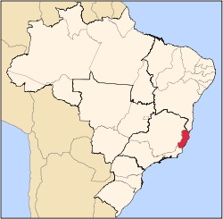
Anchieta is a municipality in the Brazilian state of Espírito Santo. Its population was 27,624 in 2015 and its area is 412 km².[1] Its average elevation is 2m above sea level.
Formerly known as Reritiba, the city was renamed after the Jesuit Spanish missionary and saint José de Anchieta (1534-1597).
References
|
|---|
|
|
|
| Mesoregion Central | Afonso Cláudio | |
|---|
| Guarapari | |
|---|
| Santa Teresa | |
|---|
| Vitória | |
|---|
| |
|---|
|
| Mesoregion Litoral Norte | Linhares | |
|---|
| Montanha | |
|---|
| São Mateus | |
|---|
|
|---|
|
| Mesoregion Noroeste | Barra de São Francisco | |
|---|
| Colatina | |
|---|
| Nova Venécia | |
|---|
|
|---|
|
| Mesoregion Sul | Alegre | |
|---|
| Cachoeiro de Itapemirim | |
|---|
| Itapemirim | |
|---|
|
|---|