Coal, West Virginia
| Coal | |
|---|---|
| Unincorporated community | |
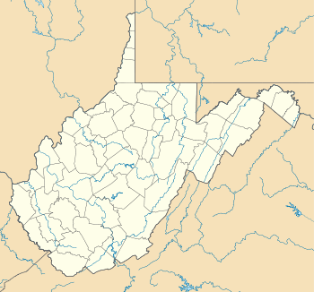 Coal  Coal Location within the state of West Virginia | |
| Coordinates: 38°6′51″N 81°27′17″W / 38.11417°N 81.45472°WCoordinates: 38°6′51″N 81°27′17″W / 38.11417°N 81.45472°W | |
| Country | United States |
| State | West Virginia |
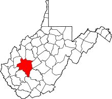
| County | Kanawha |
| Elevation | 748 ft (228 m) |
| Time zone | Eastern (EST) (UTC-5) |
| • Summer (DST) | EDT (UTC-4) |
| GNIS ID | 1537436[1] |
Coal is an unincorporated community and coal town in Kanawha County, West Virginia, United States, along Cabin Creek.[2] It was also known as Cofoco.
References
- ↑ U.S. Geological Survey Geographic Names Information System: Coal, West Virginia
- ↑ The National Map, accessed 19 October 2016.
This article is issued from Wikipedia - version of the 10/19/2016. The text is available under the Creative Commons Attribution/Share Alike but additional terms may apply for the media files.