Ward, West Virginia
| Ward | |
|---|---|
| Unincorporated community | |
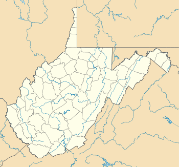 Ward  Ward Location within the state of West Virginia | |
| Coordinates: 38°14′47″N 81°23′17″W / 38.24639°N 81.38806°WCoordinates: 38°14′47″N 81°23′17″W / 38.24639°N 81.38806°W | |
| Country | United States |
| State | West Virginia |
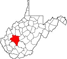
| County | Kanawha |
| Elevation | 709 ft (216 m) |
| Time zone | Eastern (EST) (UTC-5) |
| • Summer (DST) | EDT (UTC-4) |
| GNIS ID | 1548785[1] |
Ward is an unincorporated community and coal town in Kanawha County, West Virginia, United States. Its post office[2] is closed. Ward is approximately 3 miles (4.8 km) northeast of Cedar Grove, along Kellys Creek.[3]
The community was named after Ward Hudnall.[4]
References
- ↑ U.S. Geological Survey Geographic Names Information System: Ward, West Virginia
- ↑ U.S. Geological Survey Geographic Names Information System: Ward, West Virginia
- ↑ The National Map, accessed 2013-11-29
- ↑ Kenny, Hamill (1945). West Virginia Place Names: Their Origin and Meaning, Including the Nomenclature of the Streams and Mountains. Piedmont, WV: The Place Name Press. p. 657.
This article is issued from Wikipedia - version of the 7/28/2016. The text is available under the Creative Commons Attribution/Share Alike but additional terms may apply for the media files.