Sadiq Abubakar III International Airport
| Sadiq Abubakar III International Airport | |||||||||||
|---|---|---|---|---|---|---|---|---|---|---|---|
| IATA: SKO – ICAO: DNSO | |||||||||||
| Summary | |||||||||||
| Airport type | Public | ||||||||||
| Owner/Operator | Federal Airports Authority of Nigeria (FAAN) | ||||||||||
| Serves | Sokoto, Nigeria | ||||||||||
| Elevation AMSL | 1,010 ft / 308 m | ||||||||||
| Coordinates | 12°54′58″N 5°12′25″E / 12.91611°N 5.20694°E | ||||||||||
| Map | |||||||||||
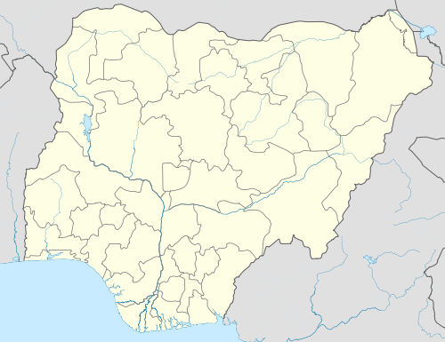 SKO Location of the airport in Nigeria | |||||||||||
| Runways | |||||||||||
| |||||||||||
Sadiq Abubakar III International Airport[2] or Sultan Saddik Abubakar Airport[1] (IATA: SKO, ICAO: DNSO) is an airport serving Sokoto, the capital of the Sokoto State in Nigeria.
The Sokoto VOR-DME (Ident: SOK) and non-directional beacon (Ident: SK) are located on the field.[5] The runway length does not include 118 metres (387 ft) displaced thresholds on each end.
Airlines and destinations
| Airlines | Destinations |
|---|---|
| Aero Contractors | Abuja [6] |
| Arik Air | Abuja |
See also
References
- 1 2 FAAN - Sokoto Airport
- 1 2 Airport information for DNSO at World Aero Data. Data current as of October 2006.Source: DAFIF.
- ↑ Airport information for SKO at Great Circle Mapper.
- ↑ Google Maps - Sokoto
- ↑ OurAirports - SOK VOR
- ↑ Aero Contractors start Abuja-Sokoto flights from January 2013
External links
- Accident history for SKO at Aviation Safety Network
- OurAirports - Sokoto
- SkyVector - Sokoto
- OpenStreetMap - Saddiq Abubakar
This article is issued from Wikipedia - version of the 10/24/2016. The text is available under the Creative Commons Attribution/Share Alike but additional terms may apply for the media files.