Daverdisse
| Daverdisse | |
|---|---|
| Municipality | |
 | |
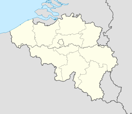 Daverdisse Location in Belgium | |
|
Location of Daverdisse in Luxembourg province 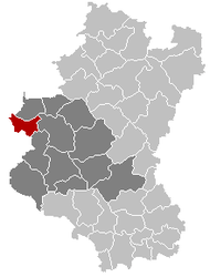 | |
| Coordinates: 50°01′N 05°07′E / 50.017°N 5.117°ECoordinates: 50°01′N 05°07′E / 50.017°N 5.117°E | |
| Country | Belgium |
| Community | French Community |
| Region | Wallonia |
| Province | Luxembourg |
| Arrondissement | Neufchâteau |
| Government | |
| • Mayor | Michel Chauviaux |
| • Governing party/ies | IC |
| Area | |
| • Total | 56.40 km2 (21.78 sq mi) |
| Population (1 January 2016)[1] | |
| • Total | 1,457 |
| • Density | 26/km2 (67/sq mi) |
| Postal codes | 6929 |
| Area codes | 061 |
| Website | www.daverdisse.be |
Daverdisse is a Walloon municipality of Belgium located in the province of Luxembourg. On 1 January 2007 the municipality, which covers 56.4 km², had 1,372 inhabitants, giving a population density of 24.3 inhabitants per km².
The municipality consists of the following sub-municipalities: Daverdisse proper, Gembes, Haut-Fays, and Porcheresse.
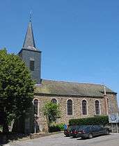
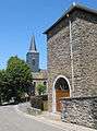 Near St Peter's Church
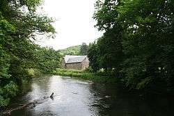 The Lesse river and the Mohimont Farm
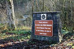 Memorial plate dedicated to prince Pierre Bonaparte
References
- ↑ Population per municipality as of 1 January 2016 (XLS; 397 KB)
External links
-
 Media related to Daverdisse at Wikimedia Commons
 - Discover Daverdisse and the other villages of the municipality
- Official site of the Municipality of Daverdisse
 |
Beauraing (WNA) | Wellin | | |
| Gedinne (WNA) | |
Libin | ||
| ||||
| | ||||
| Bièvre (WNA) | Paliseul |
Municipalities of Luxembourg Province | ||
|---|---|---|
| Arlon | 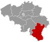 | |
| Bastogne | ||
| Marche-en-Famenne | ||
| Neufchâteau | ||
| Virton | ||
This article is issued from Wikipedia - version of the 12/1/2016. The text is available under the Creative Commons Attribution/Share Alike but additional terms may apply for the media files.