Fostertown, New Jersey
| Fostertown, New Jersey | |
|---|---|
| Unincorporated community | |
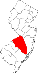
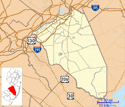 Fostertown 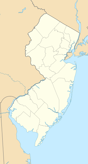 Fostertown  Fostertown Location in Burlington County (Inset: Burlington County in New Jersey) | |
| Coordinates: 39°56′34″N 74°49′03″W / 39.94278°N 74.81750°W | |
| Country |
|
| State |
|
| County | Burlington |
| Township | Lumberton |
| Elevation | 12 m (39 ft) |
| Time zone | Eastern (EST) (UTC-5) |
| • Summer (DST) | EDT (UTC-4) |
| Area code(s) | 609 |
| GNIS feature ID | 876429[1] |
Fostertown is an unincorporated community located within Lumberton Township, in Burlington County, New Jersey, United States.[2]
Transportation
County Route 541 is a major road that travels through the center of Fostertown.
The Flying W Airport is south of Fostertown, in neighboring Medford. The South Jersey Regional Airport is another airport located west of Fostertown.
References
- ↑ U.S. Geological Survey Geographic Names Information System: Fostertown, New Jersey
- ↑ Locality Search, State of New Jersey. Accessed June 9, 2016.
Coordinates: 39°56′34″N 74°49′03″W / 39.94278°N 74.81750°W
This article is issued from Wikipedia - version of the 6/10/2016. The text is available under the Creative Commons Attribution/Share Alike but additional terms may apply for the media files.